Specialized missions
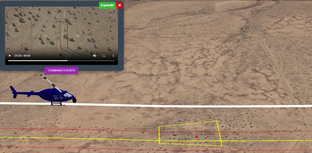

High-precision aerial services
We operate DJI Matrice drones and helicopters equipped with advanced sensors to cover every industrial need.
01 — LiDAR
LiDAR and Aerial Data Processing
Advanced capture and processing of LiDAR, photogrammetry, thermal and multispectral data with centimeter accuracy.
Request →02 — Inspection
Infrastructure Inspection
Aerial diagnosis of power lines, pipelines, gas pipelines and oil pipelines. Anomaly detection and predictive maintenance.
Request →03 — Security
Public Safety and Surveillance
Integration with public safety platforms. Search and rescue (SAR), perimeter surveillance and tactical operations with thermal cameras.
Request →