01Software, systems and artificial intelligence
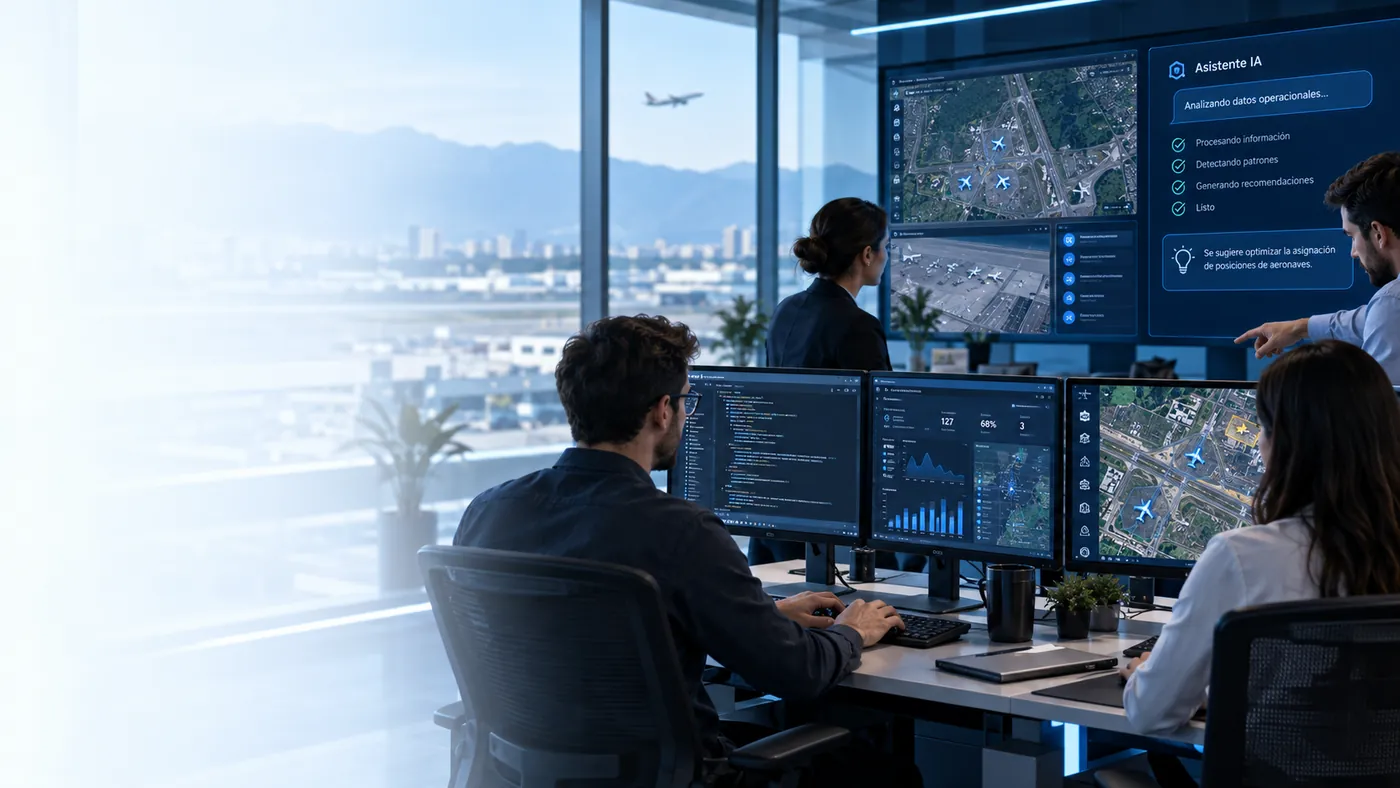
Development and integration of systems to digitize processes, connect information and build custom operational tools.
Aviation Systems integrates custom software, servers, networks, cabling and fiber optics, cybersecurity, video surveillance, drones, geomatics, cadastre and specialized equipment. We define the scope, supply the technology, implement, integrate, test and document every project.
We work as a technology integrator to connect applications, IT infrastructure, communications, data and field technology. A project can start with a diagnosis or engineering and continue with supply, installation, development, configuration, integration, testing, documentation, training and support.
From software development and IT infrastructure to drones, geomatics and land modernization. Each line groups related capabilities and links to its own technical page.
01Development and integration of systems to digitize processes, connect information and build custom operational tools.
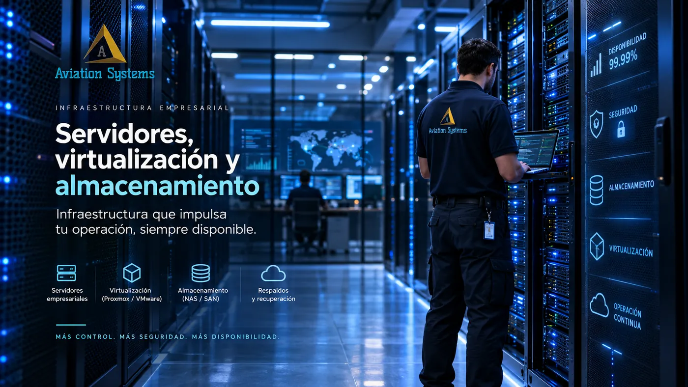
02Infrastructure for applications, databases, files, virtualization, backup, administration and business continuity.
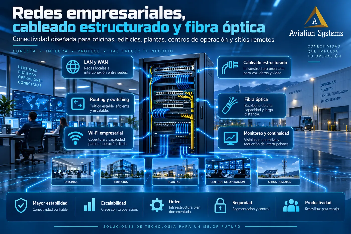
03Design and implementation of business and industrial connectivity: LAN, WAN, switching, Wi-Fi, cabling, fiber, monitoring and continuity.
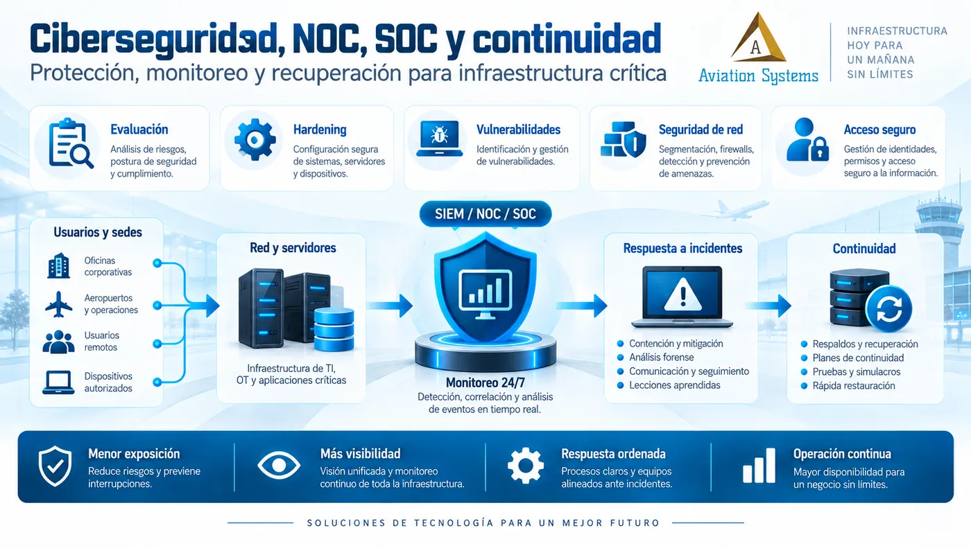
04Assessment, hardening, vulnerabilities, secure access, SIEM, NOC, SOC readiness, response and continuity for business infrastructure.
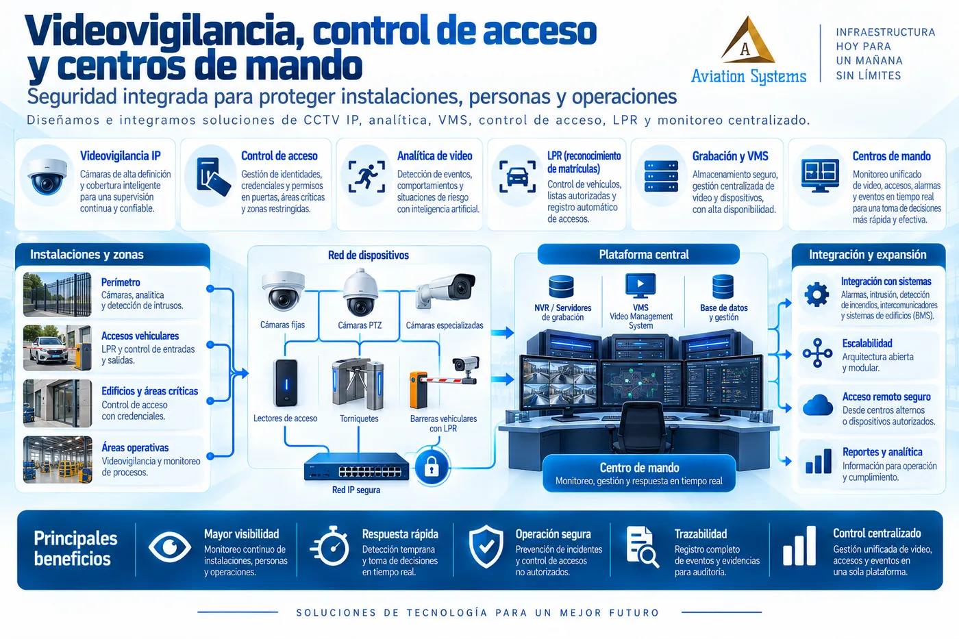
05Design and integration of IP video surveillance, analytics, VMS, access control, LPR, alarms and command centers.
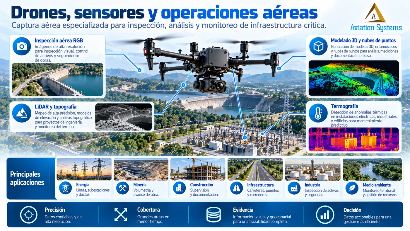
06Drone services for aerial inspection, photogrammetry, LiDAR, thermography, monitoring, live video and specialized surveys.
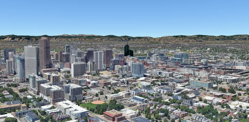
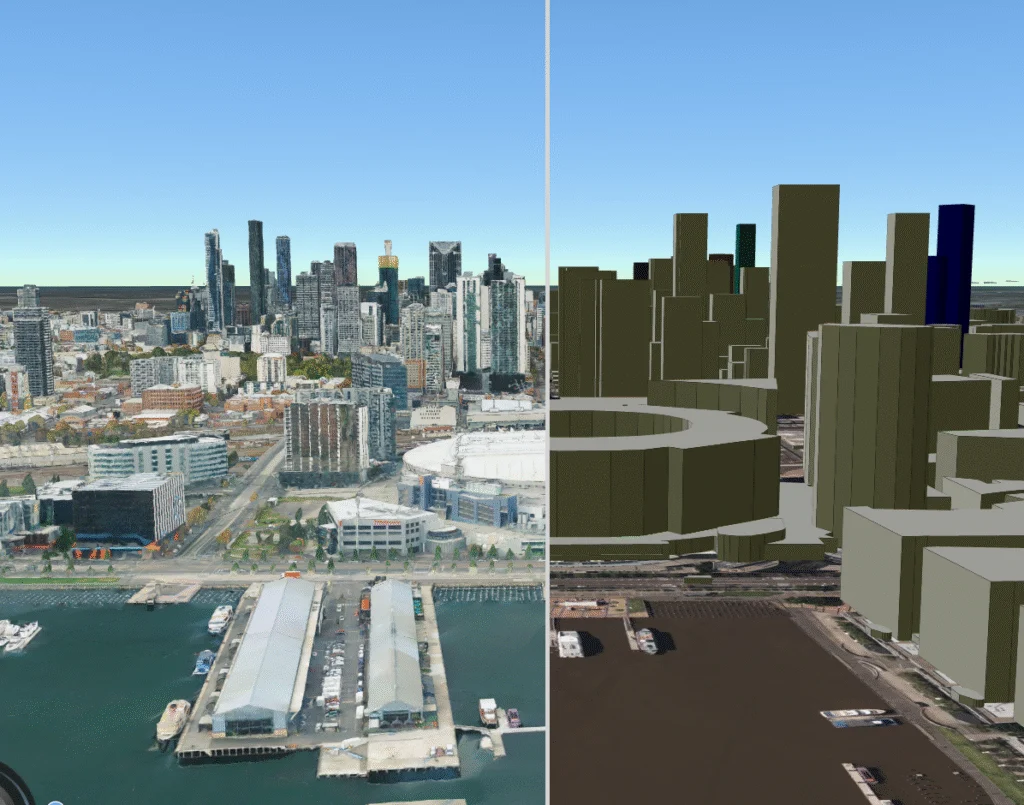
07Surveying, processing and spatial analysis for land, construction works, infrastructure, cadastre and technical studies.
08Visual, thermal and geospatial inspection of linear assets, industrial facilities and construction works through ground and aerial capture.
09Services to update cadastral information, organize records, integrate cartography and modernize land management.
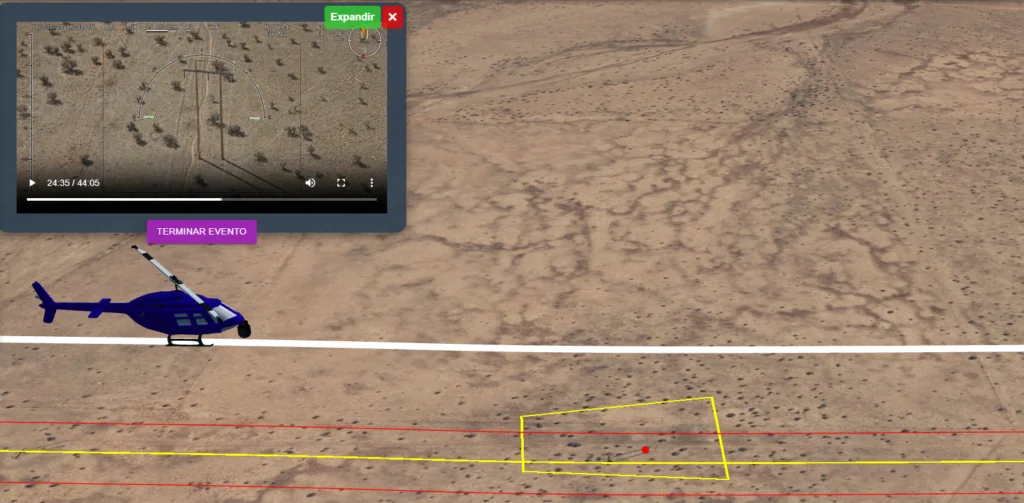
10Integration of geospatial information, video, telemetry and field resources for supervision, coordination and response.
Development and integration of systems to digitize processes, connect information and build custom operational tools.
Infrastructure for applications, databases, files, virtualization, backup, administration and business continuity.
Design and implementation of business and industrial connectivity: LAN, WAN, switching, Wi-Fi, cabling, fiber, monitoring and continuity.
Assessment, hardening, vulnerabilities, secure access, SIEM, NOC, SOC readiness, response and continuity for business infrastructure.
Design and integration of IP video surveillance, analytics, VMS, access control, LPR, alarms and command centers.
Drone services for aerial inspection, photogrammetry, LiDAR, thermography, monitoring, live video and specialized surveys.
Surveying, processing and spatial analysis for land, construction works, infrastructure, cadastre and technical studies.
Visual, thermal and geospatial inspection of linear assets, industrial facilities and construction works through ground and aerial capture.
Services to update cadastral information, organize records, integrate cartography and modernize land management.
Integration of geospatial information, video, telemetry and field resources for supervision, coordination and response.
Our own products, which can be licensed, implemented and integrated with existing infrastructure, data and systems.
2D/3D maps, georeferenced video, telemetry, sensors, assets, events, reports and API integration for operations and monitoring.
Learn about AVS Geomap →Property registry, cartography, records, geoportal, procedures, auditing, interoperability and tools for cadastral modernization.
Learn about AVS GeoCatastro →Purchasing, sales, inventory, finance, human resources, attendance, fleet, auditing and reporting in a single platform.
Learn about AVS Business ERP →Equipment can be purchased as direct supply or as part of a project with installation, configuration and integration.
Video surveillance, access control, networking, radio communication, power, automation and infrastructure technology.
See equipment →Servers, computing, storage, components, business software, security and licenses.
See hardware and software →Enterprise drones, LiDAR, RTK/GNSS, thermal and multispectral sensors, batteries, stations and accessories.
See field services and technology →We integrate the capabilities each sector needs according to its risks, assets, regulation, location, connectivity, availability and goals.
We handle requests from companies, industry and government agencies throughout Mexico. The service model —remote, on-site or by project— is defined according to the service, the location and the technical requirements.
Yes. We handle projects for companies, industry, institutions and government in all 32 Mexican states. The service can be remote, on-site or mixed depending on the technical scope.
Yes. A project can combine software, servers, networks, cybersecurity, video surveillance, drones, geomatics, telemetry, equipment and support under a coordinated scope.
We can supply hardware and licensing only, or deliver a complete solution with engineering, installation, configuration, testing, documentation and support.
First we review goals, existing infrastructure, users, locations, capacities, constraints and deliverables. With that information we define the technical and commercial scope.
Yes. We evaluate compatibility, support and project requirements to integrate existing infrastructure and select the right technologies without tying the architecture to a single brand.
If the project combines several disciplines, we define the technical scope and coordinate the necessary areas in a single proposal.