What type of drone or sensor do you use?
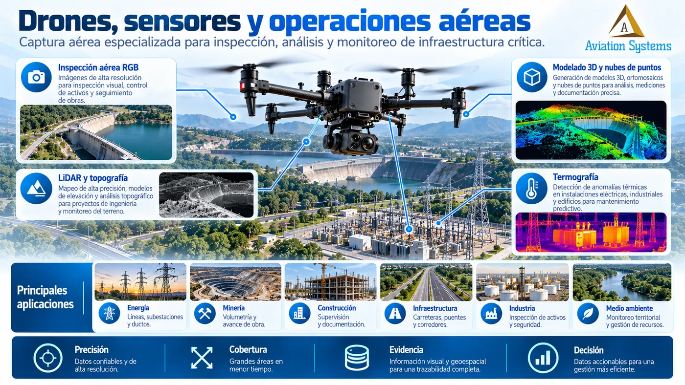
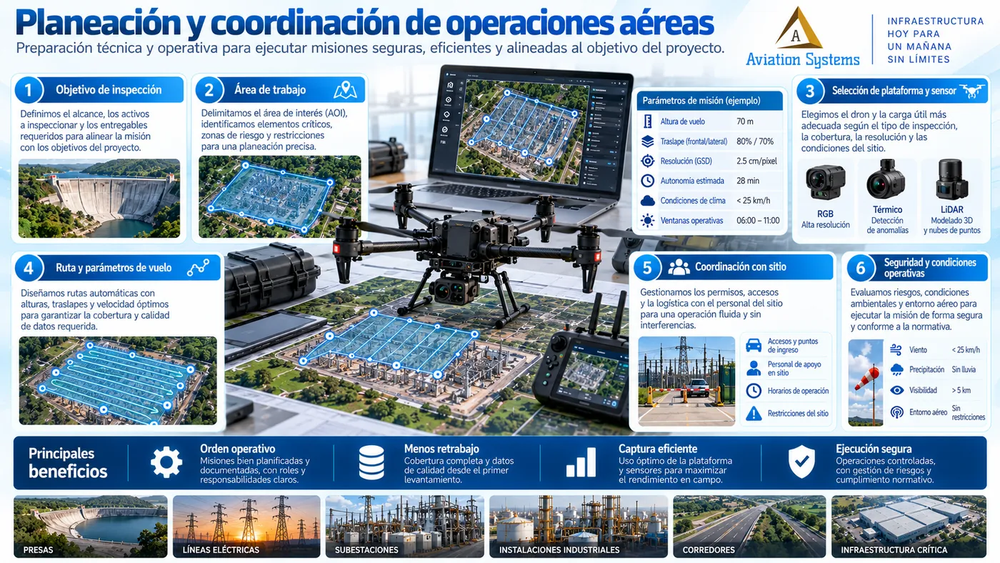
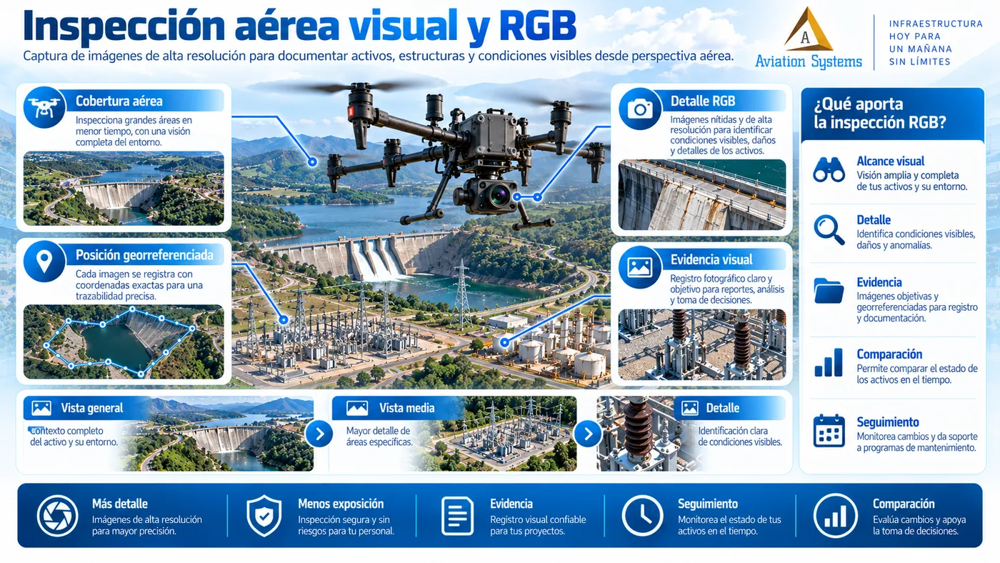
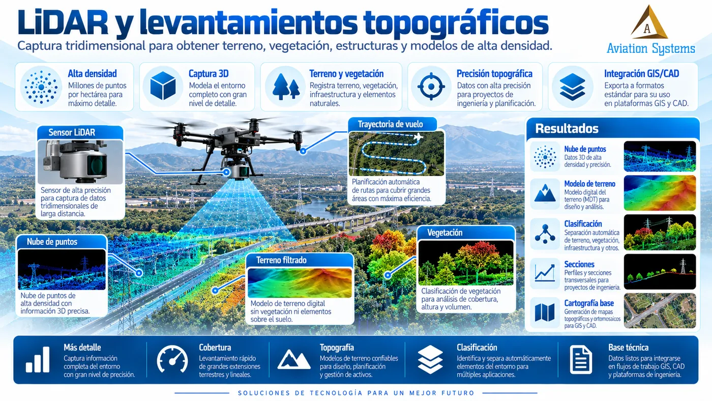
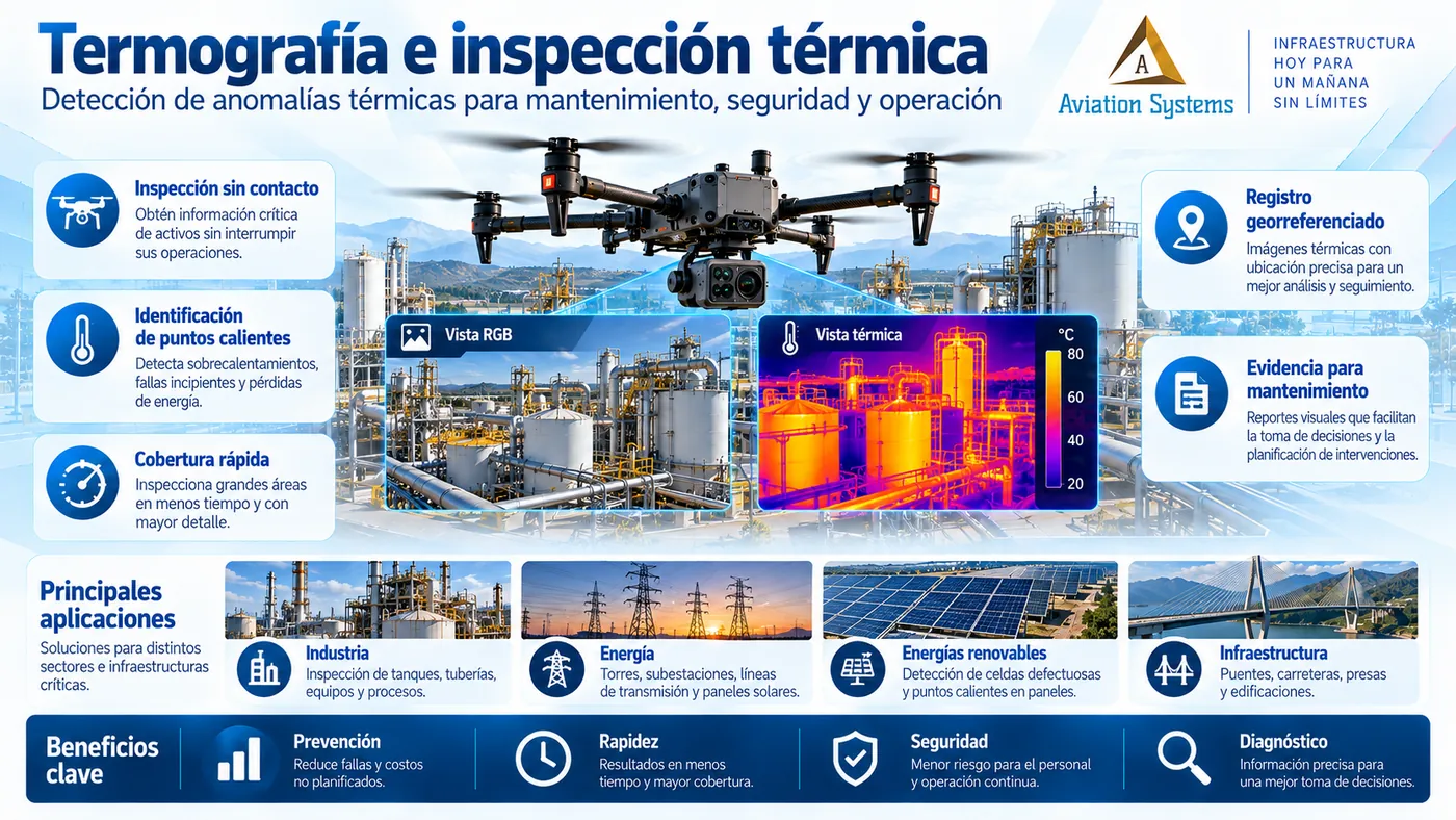
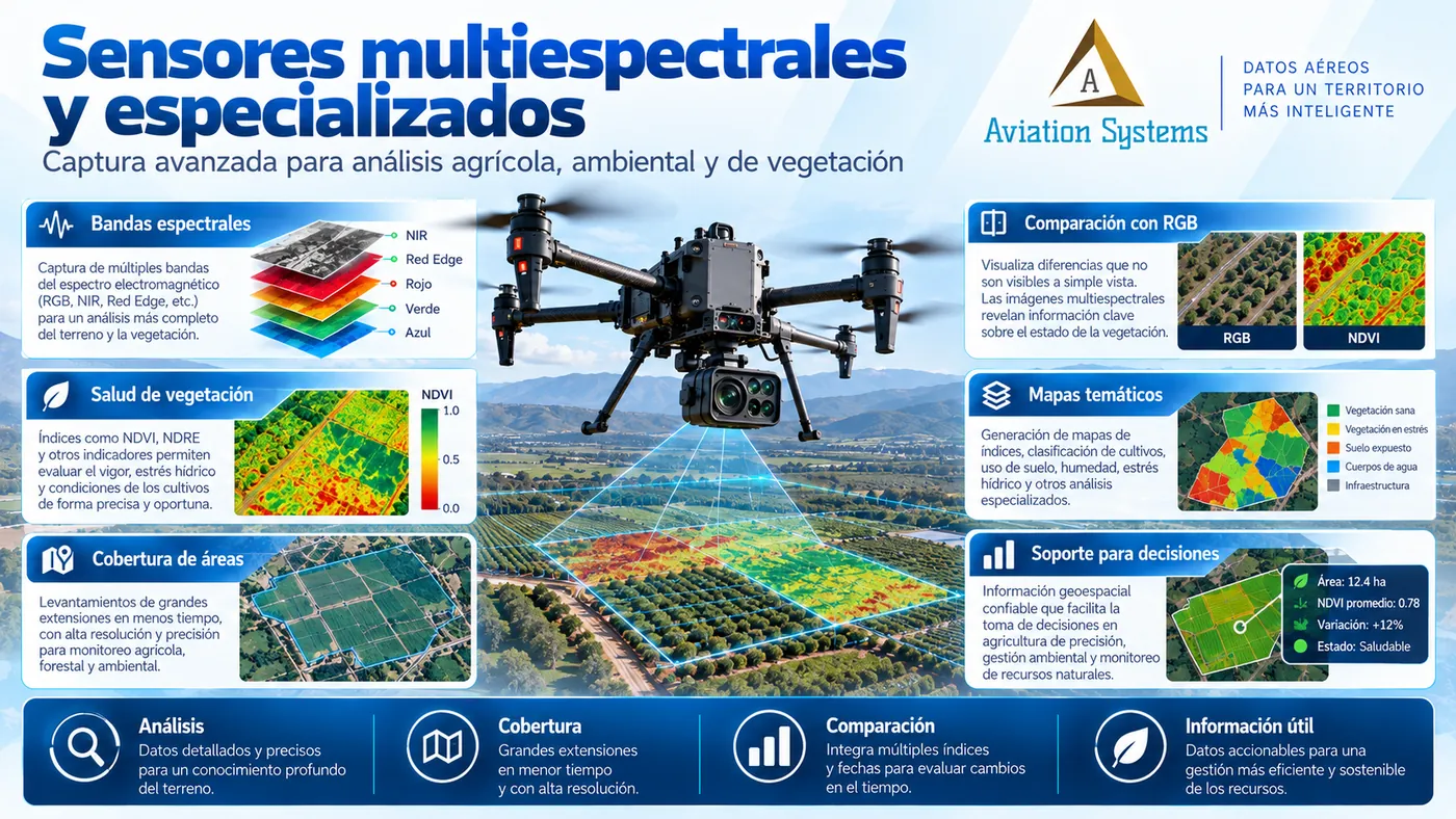
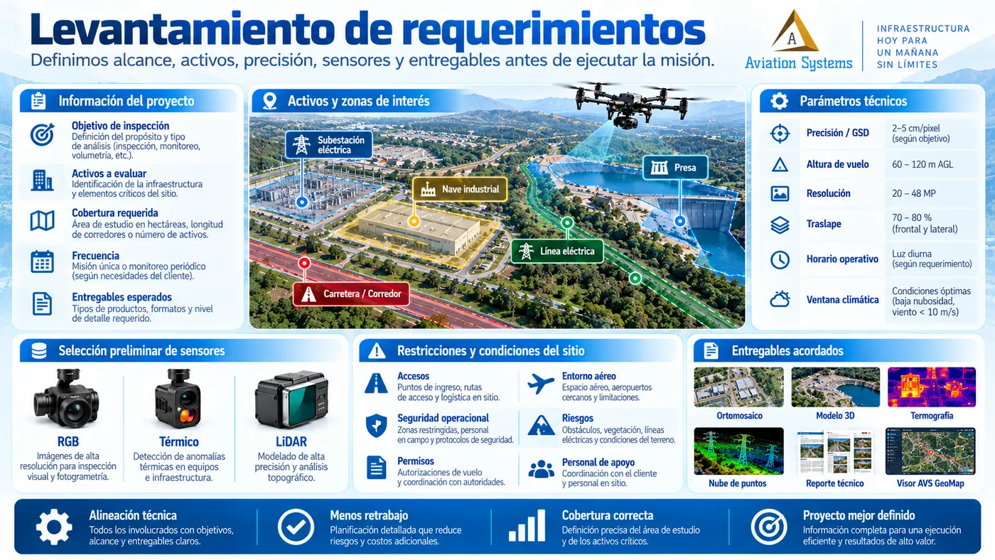
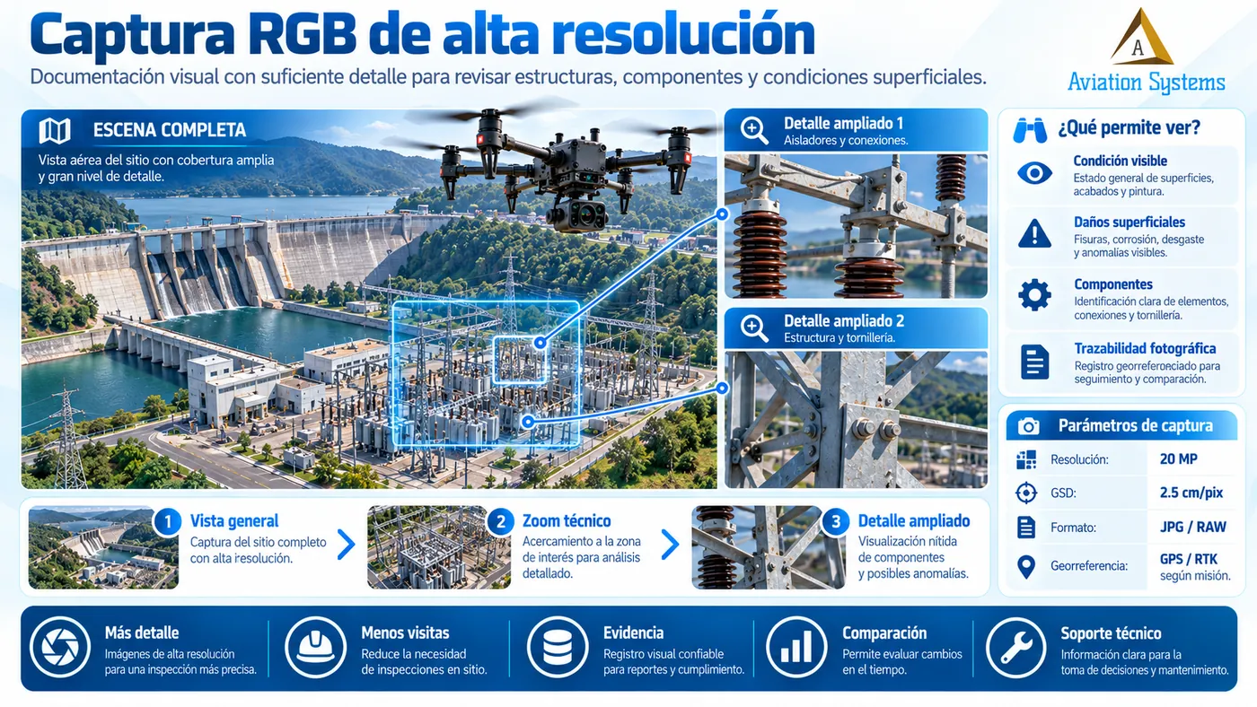
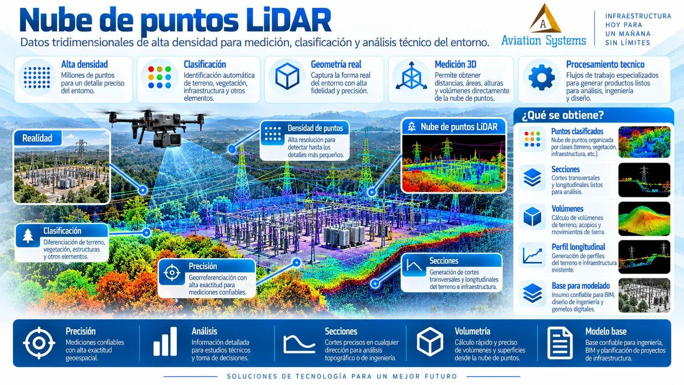
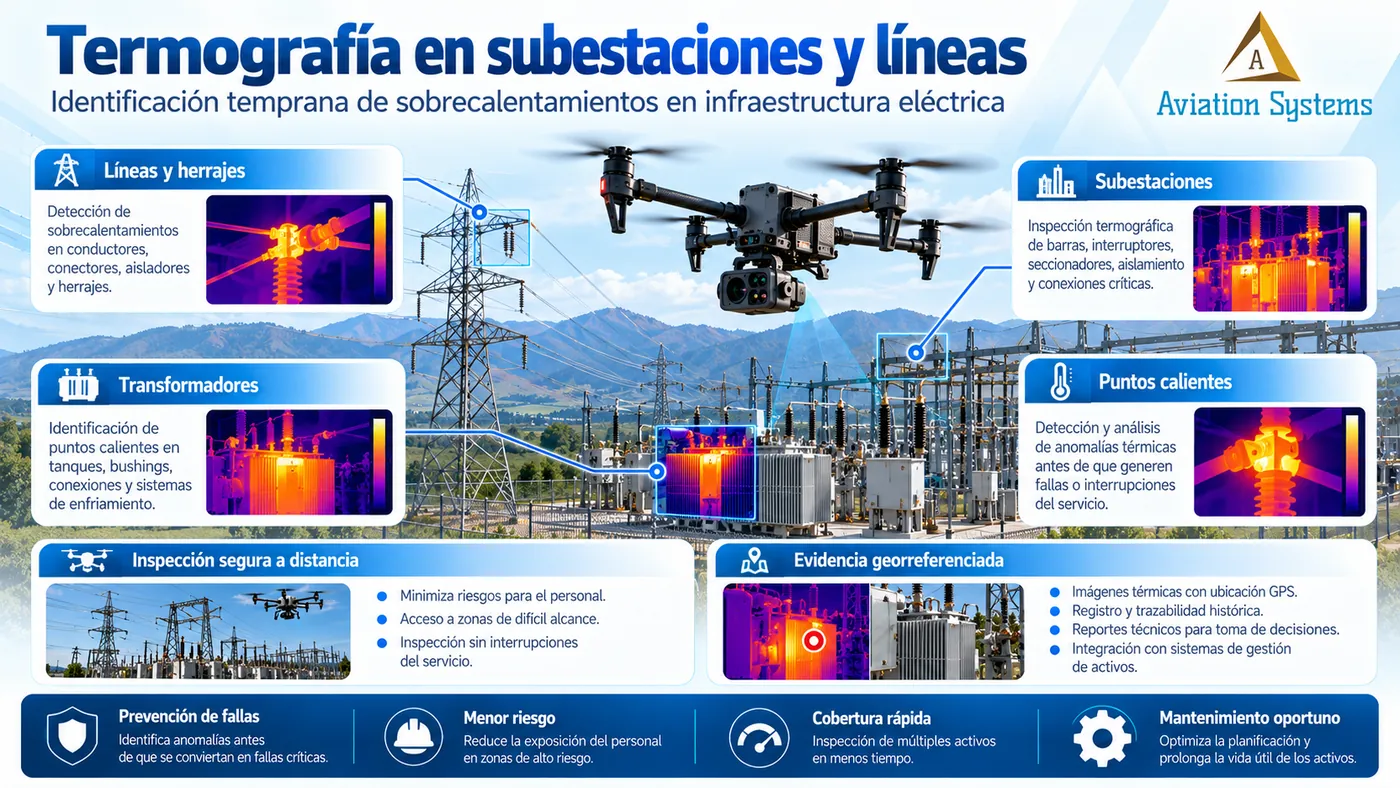
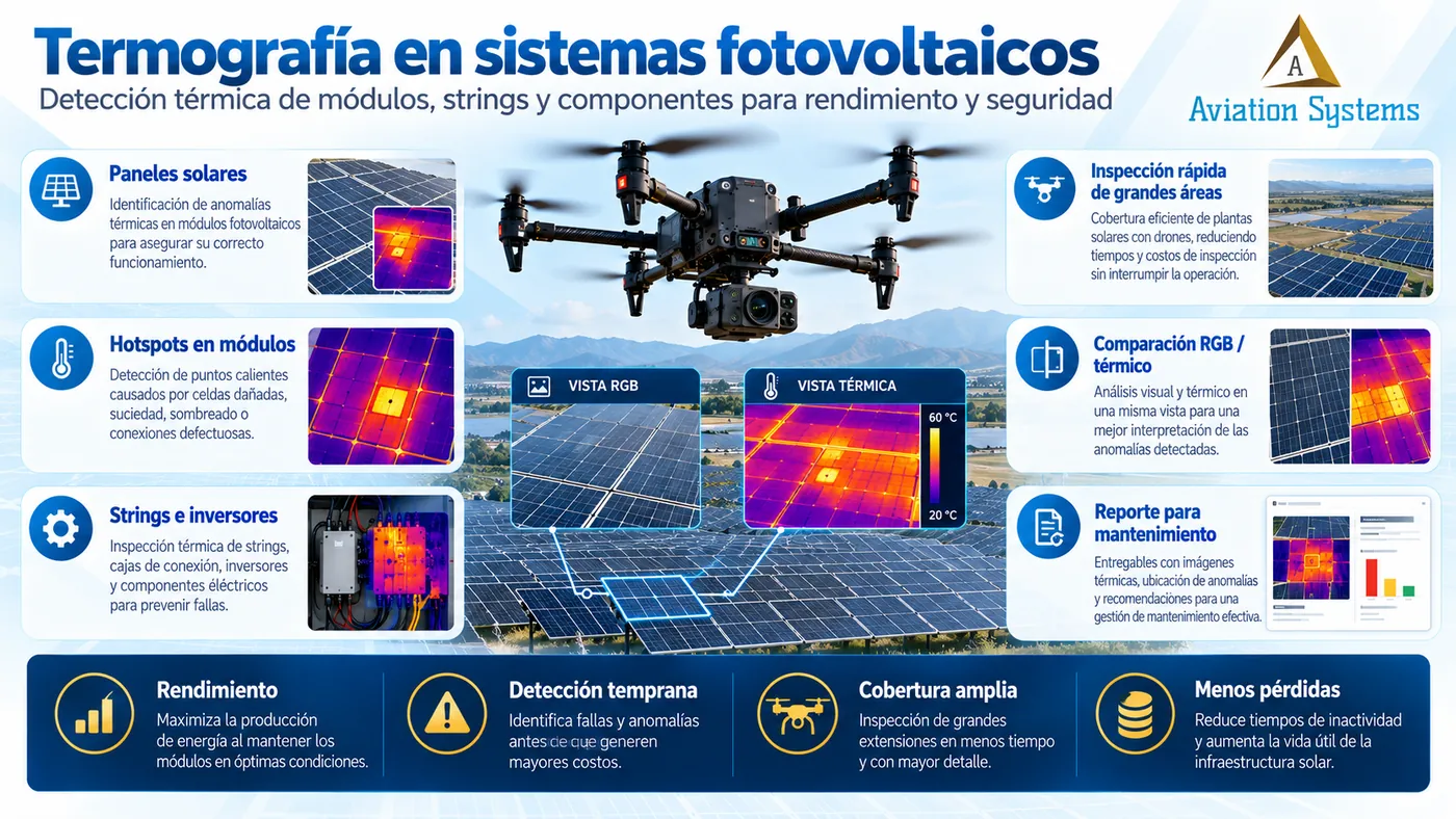
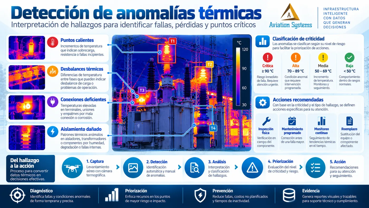
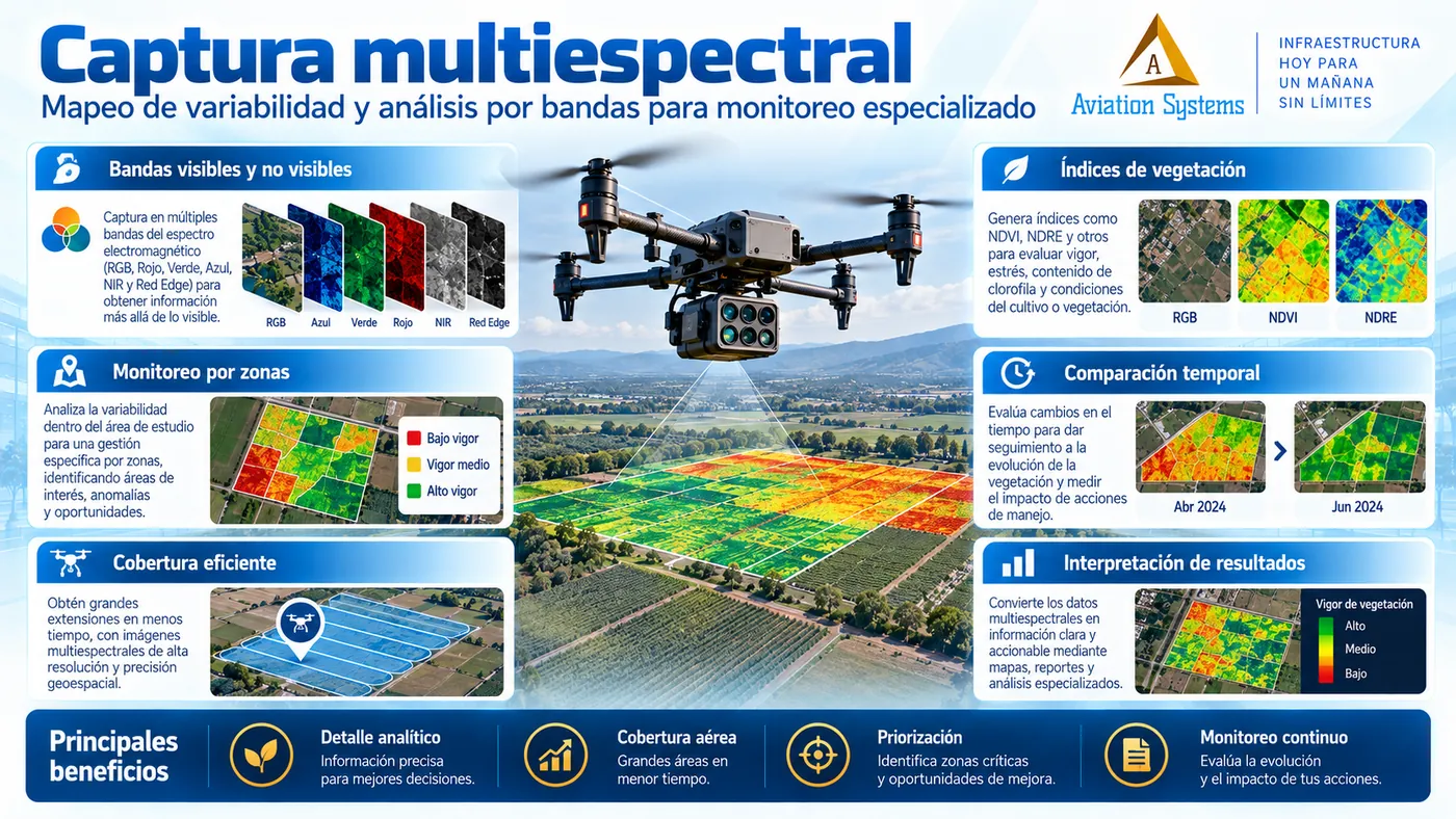
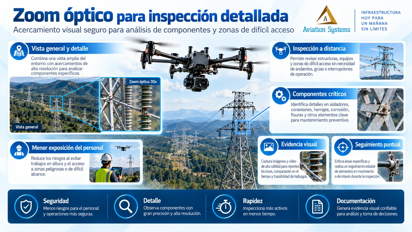
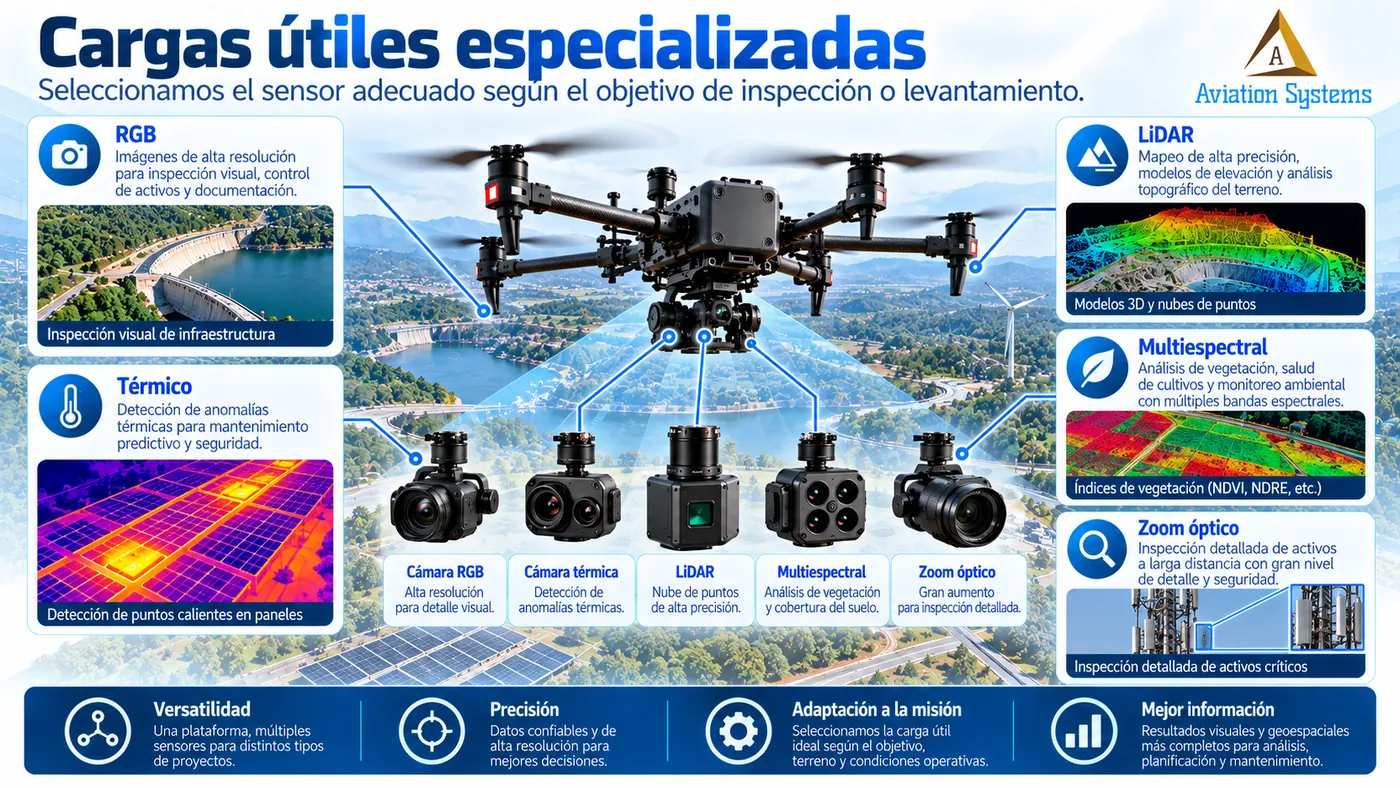
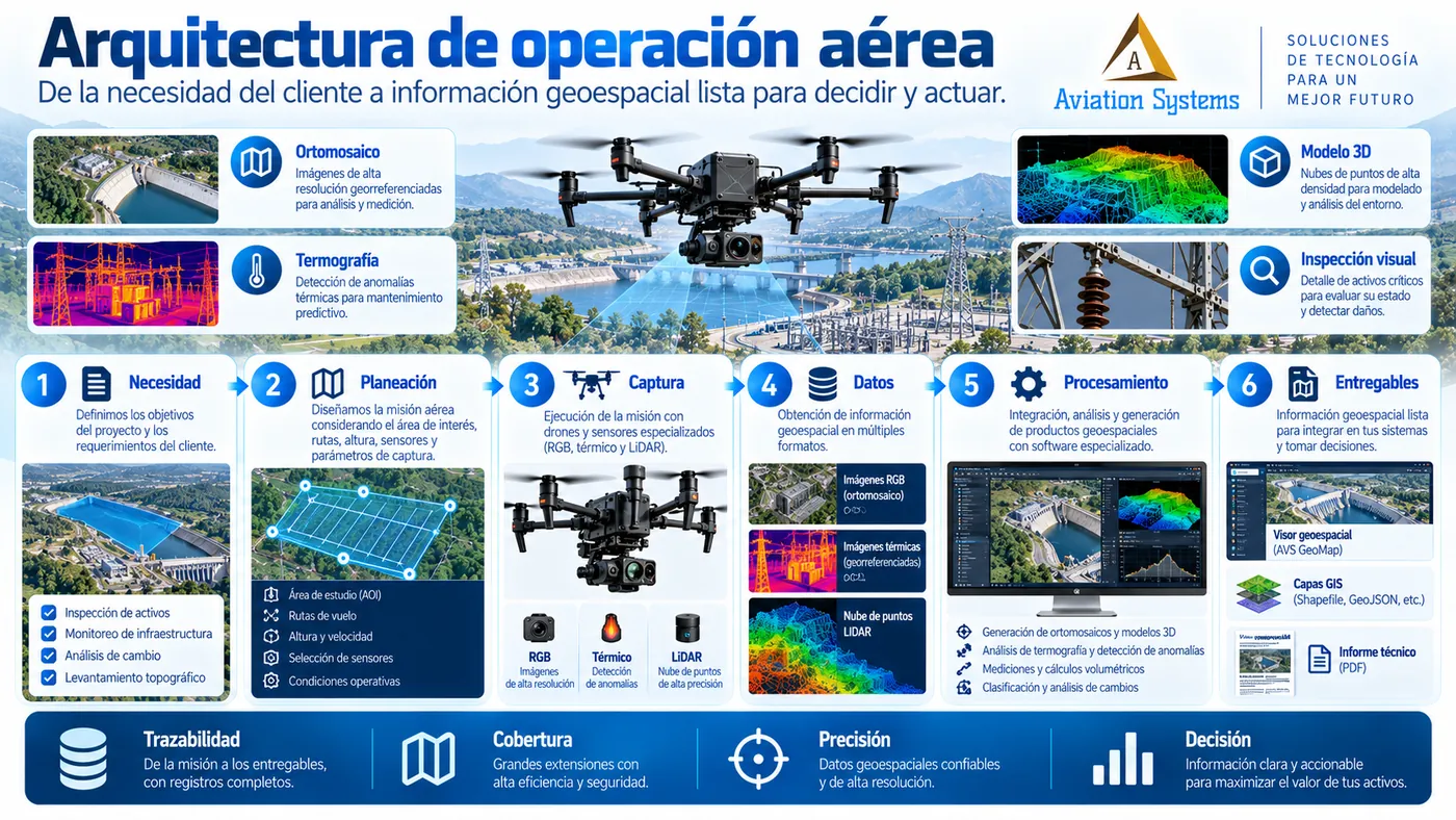
The platform is selected according to the required result, area, resolution, environment and payload. We can work with RGB, thermal, LiDAR, multispectral and zoom cameras when the project justifies it.
What accuracy can a survey achieve?
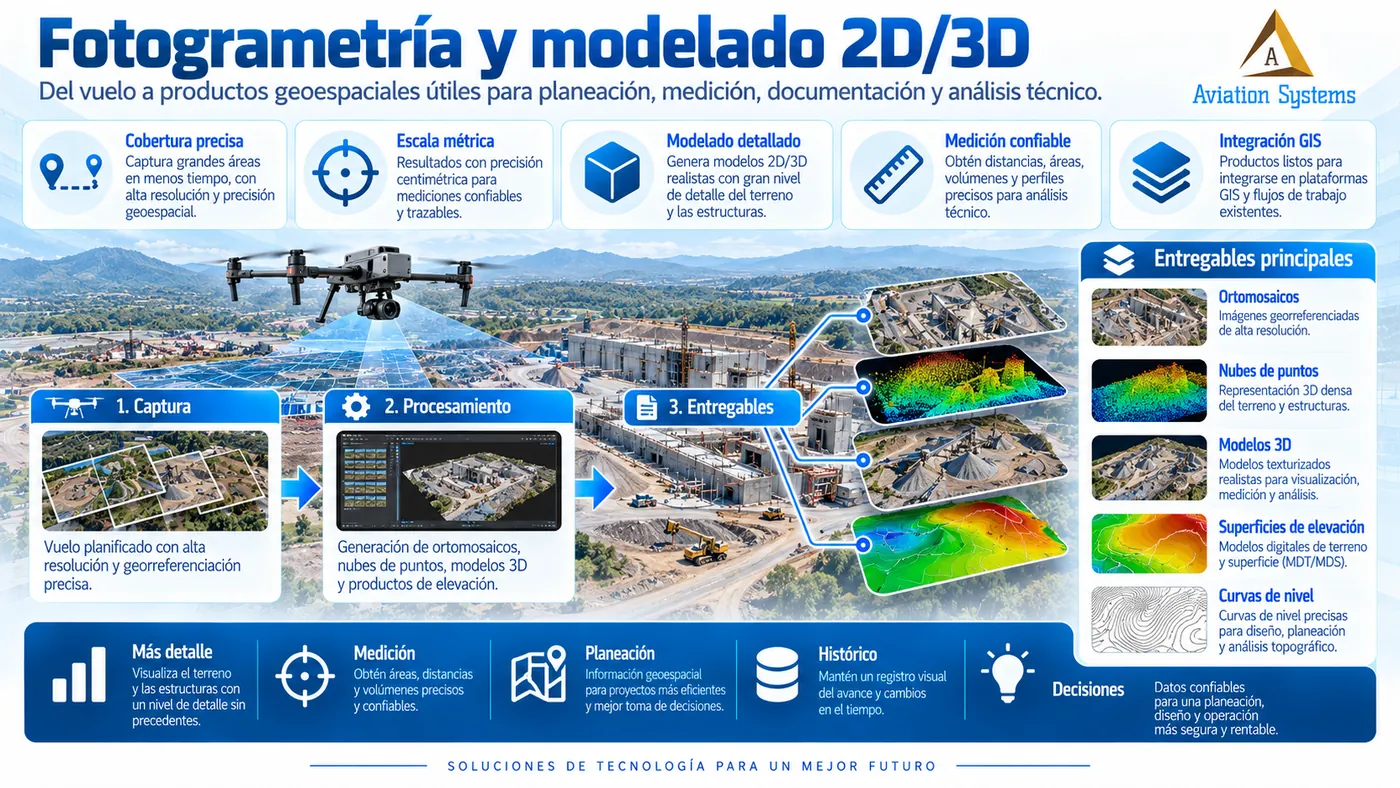
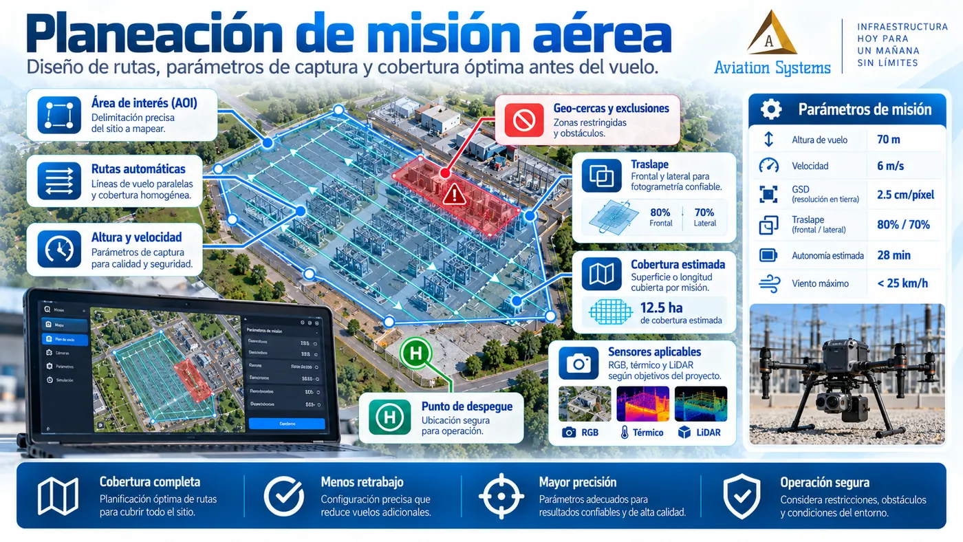
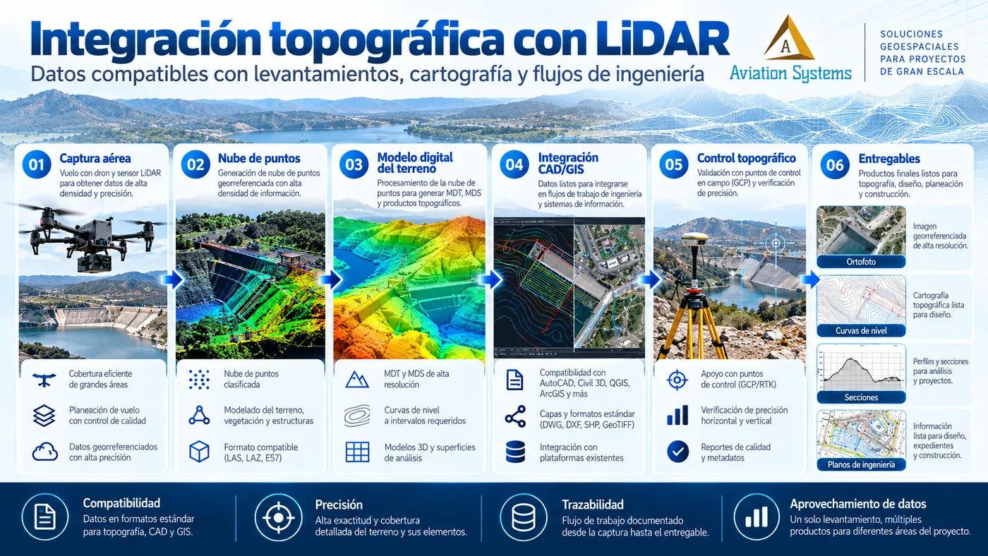
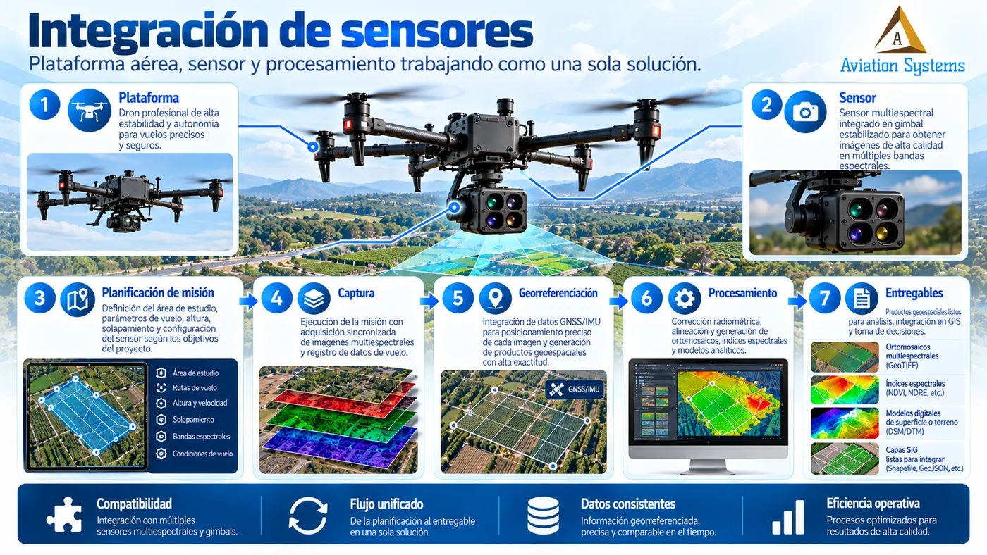
It depends on the sensor, altitude, flight geometry, RTK/PPK, ground control, processing and project conditions. Accuracy must be defined as a requirement before selecting the methodology.
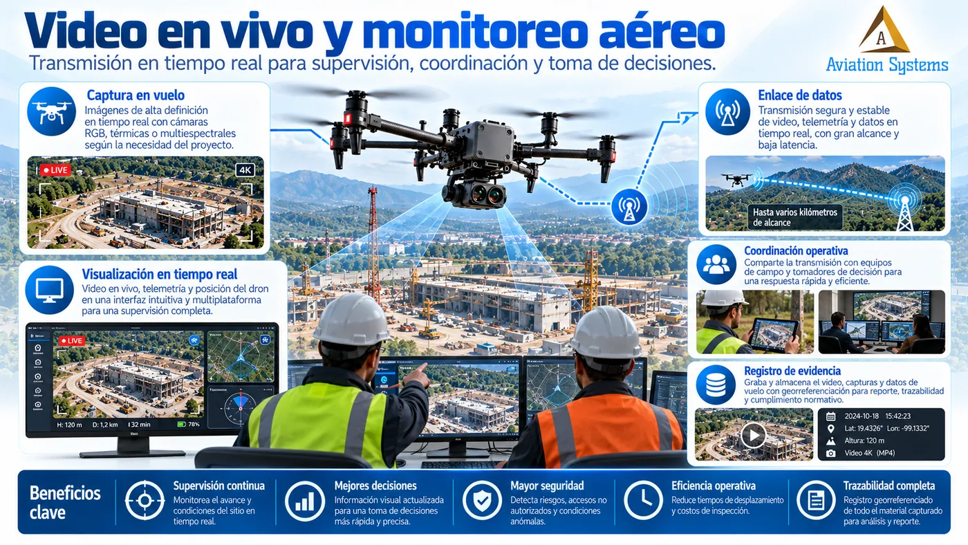
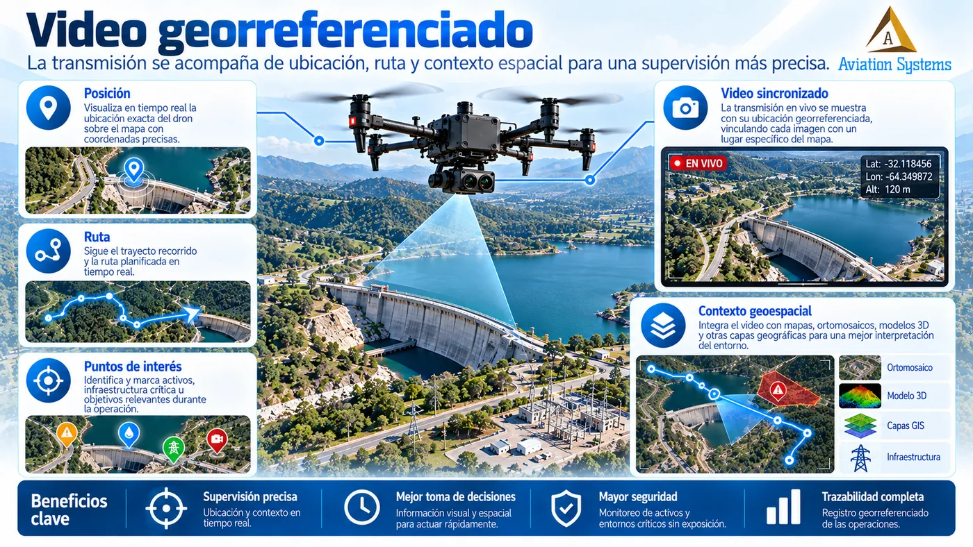
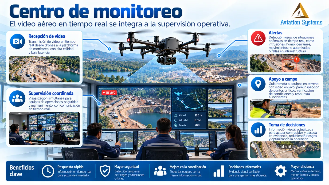
Can you stream live video from the drone?
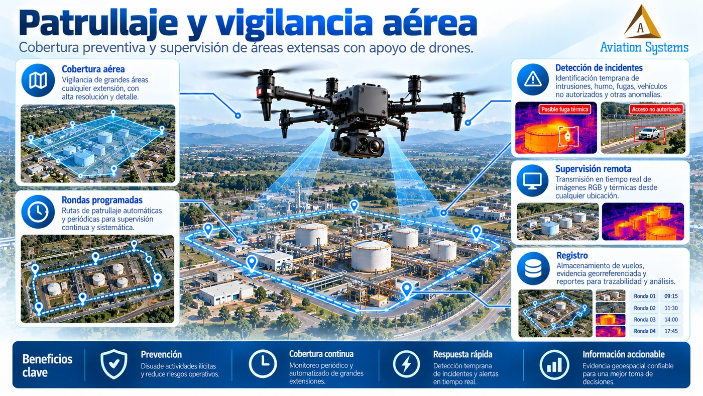
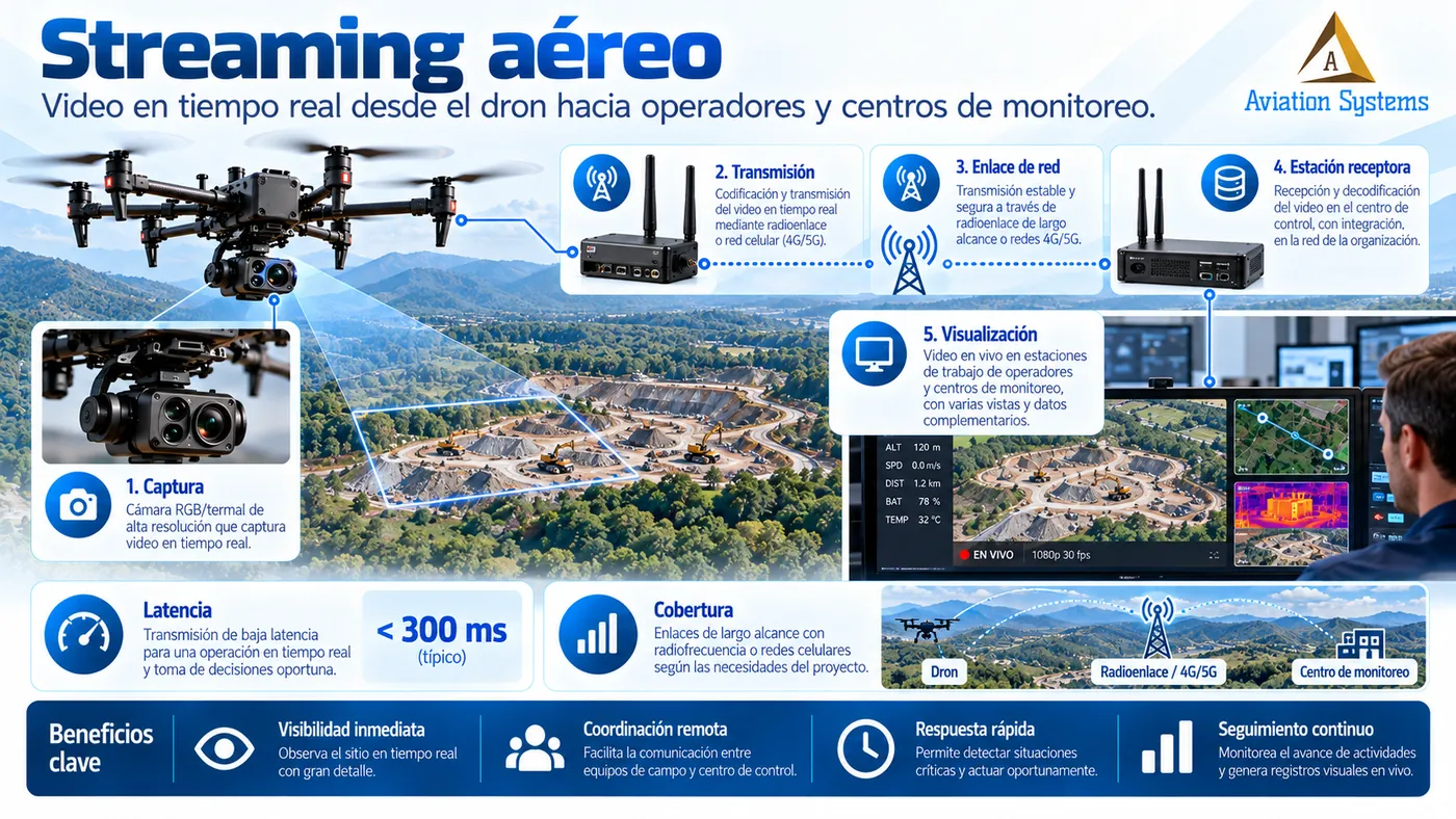
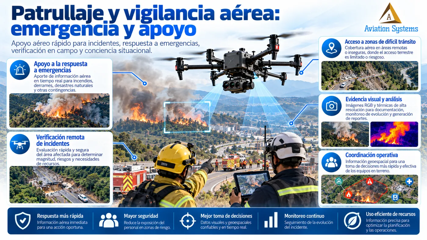
Yes, when the aircraft, the link and the available connectivity allow it. We can integrate video, position and telemetry with a platform or monitoring center.
Do you only deliver photos and videos?
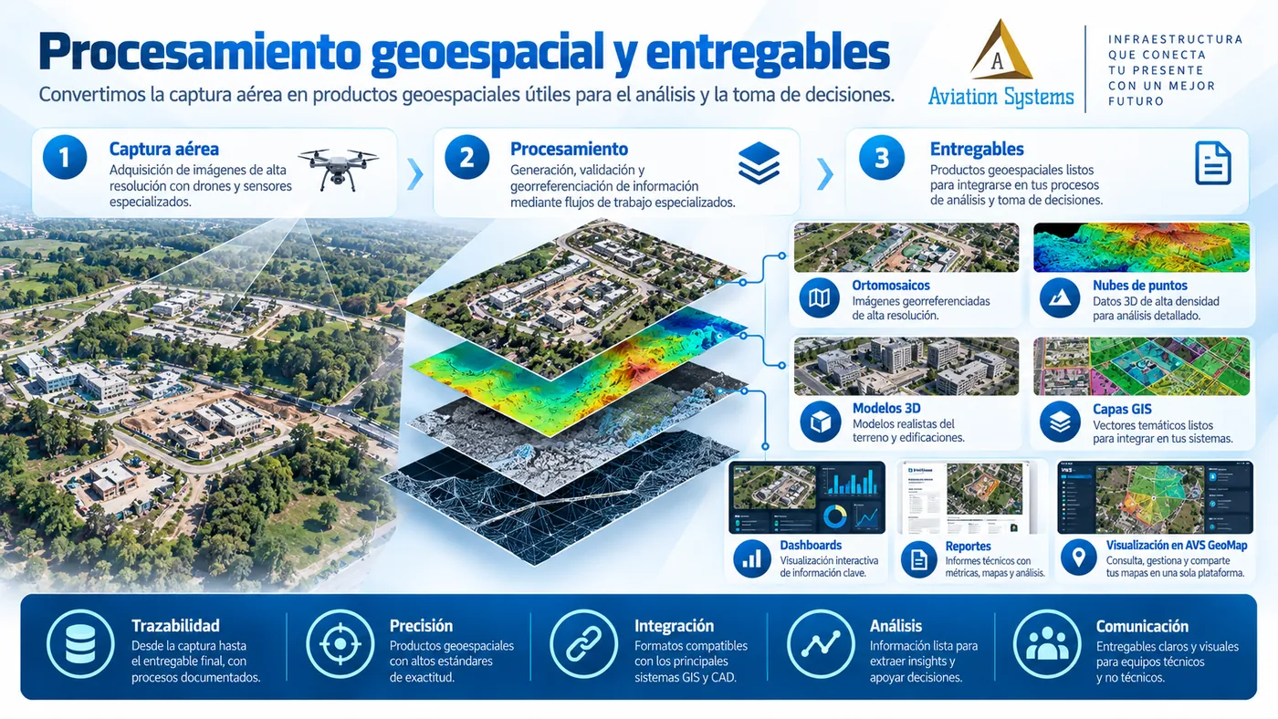
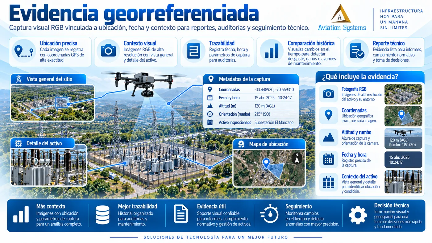
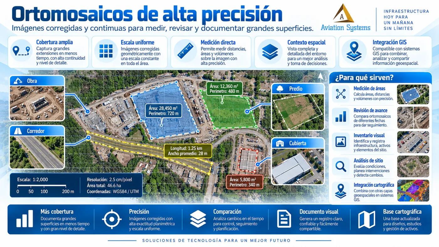
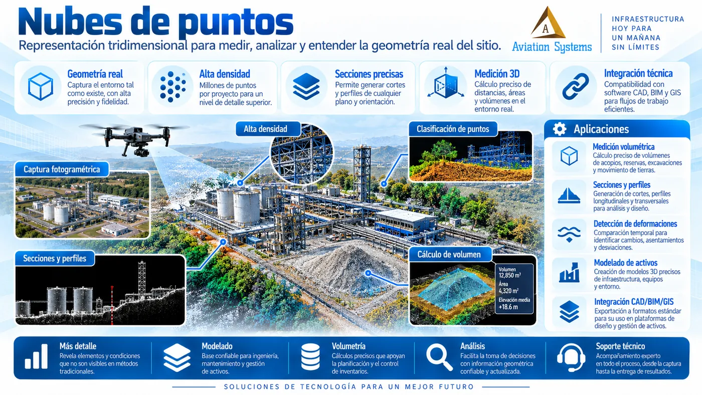
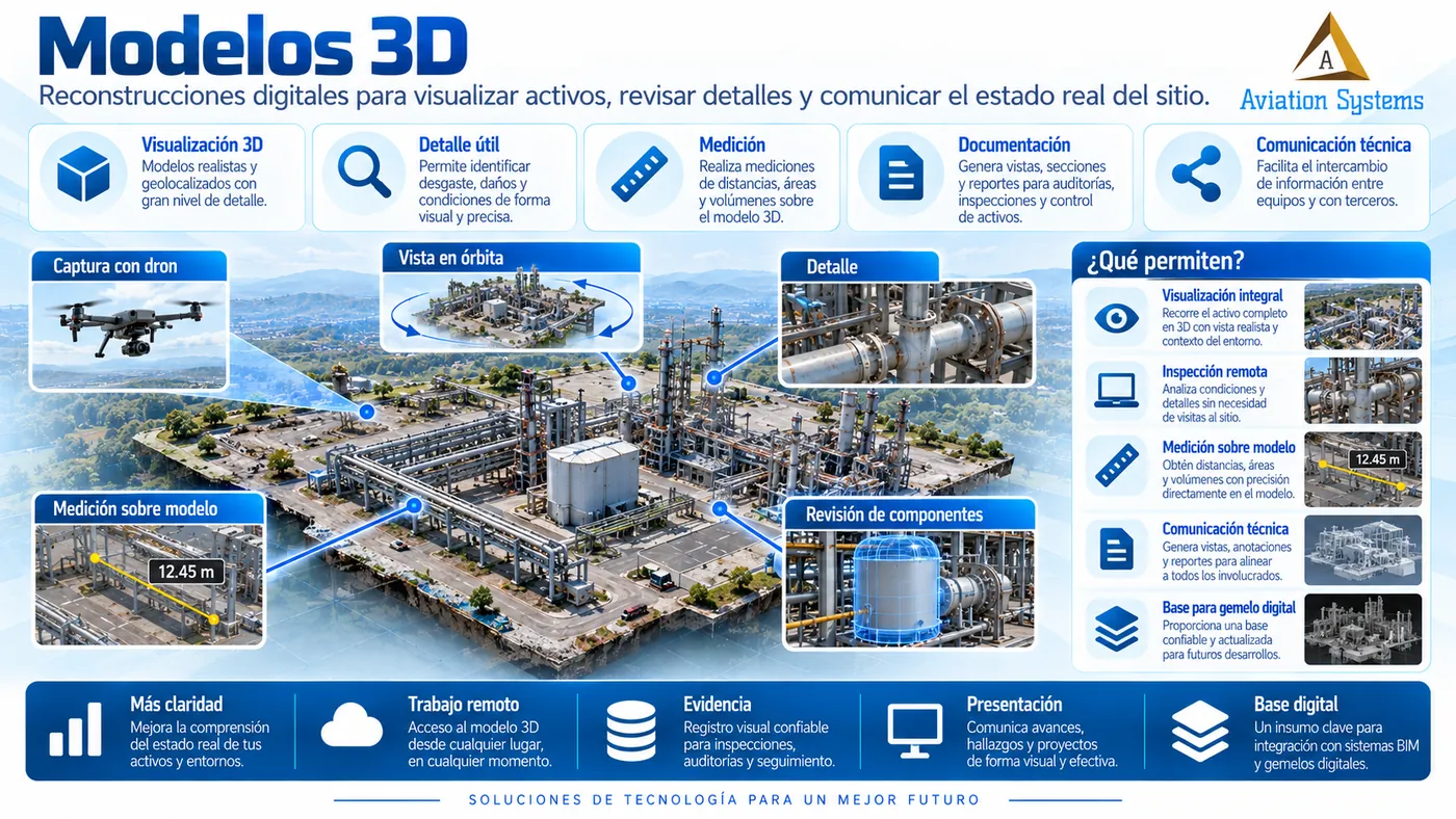
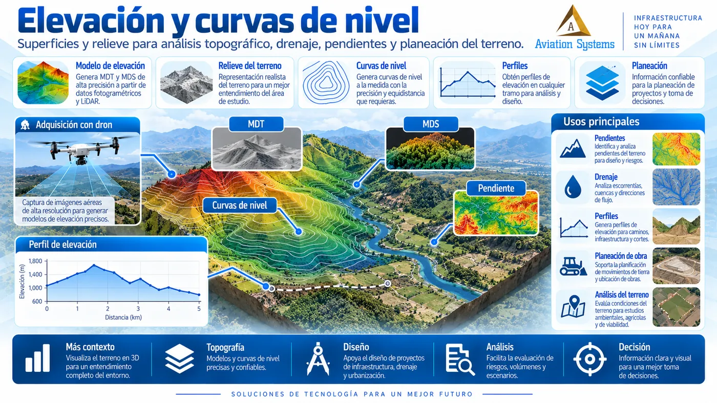
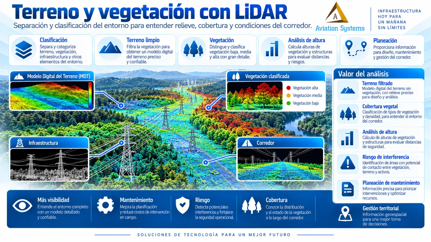
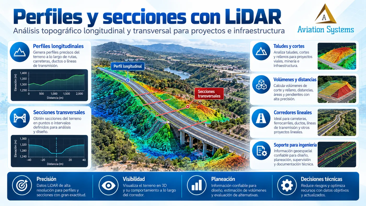
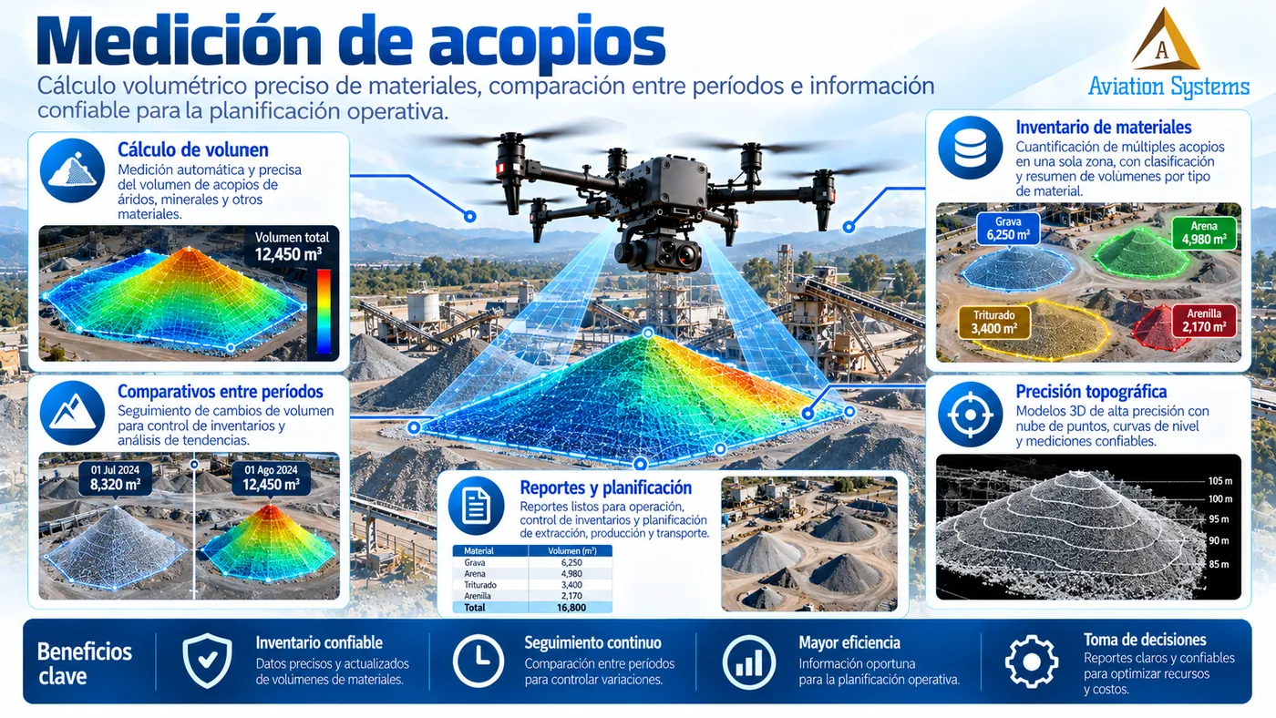
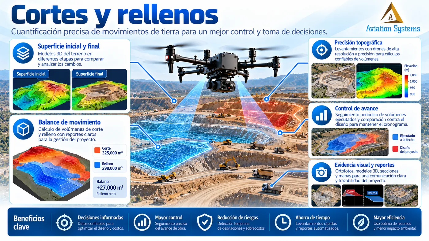
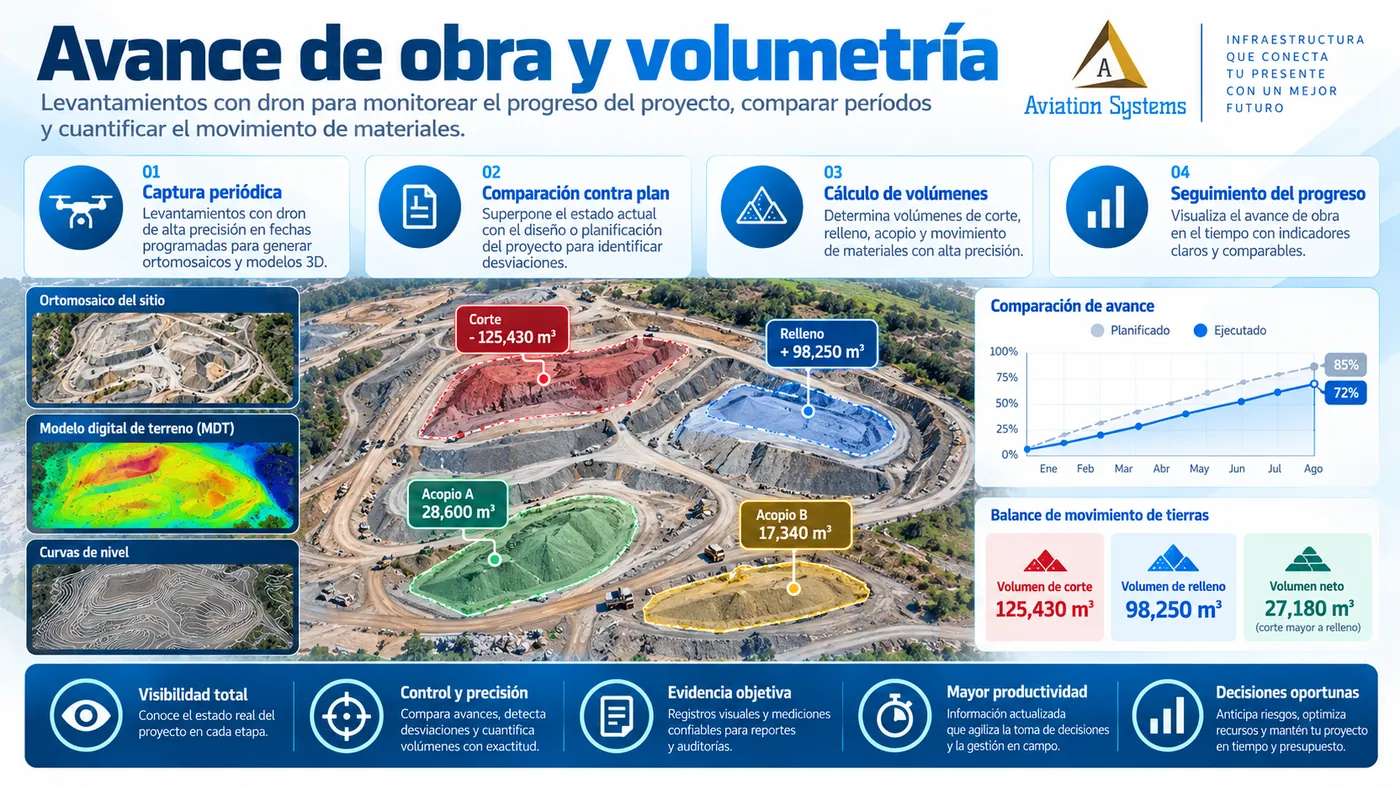
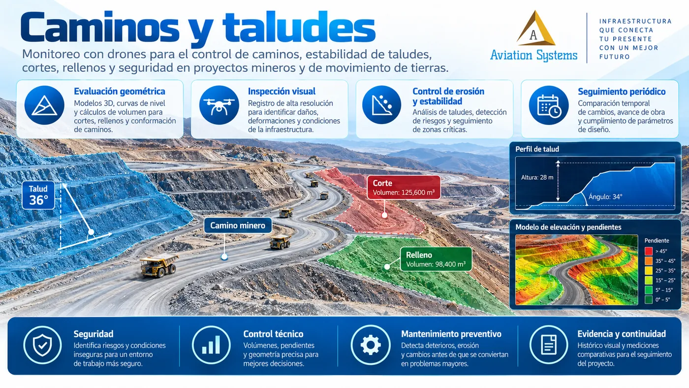
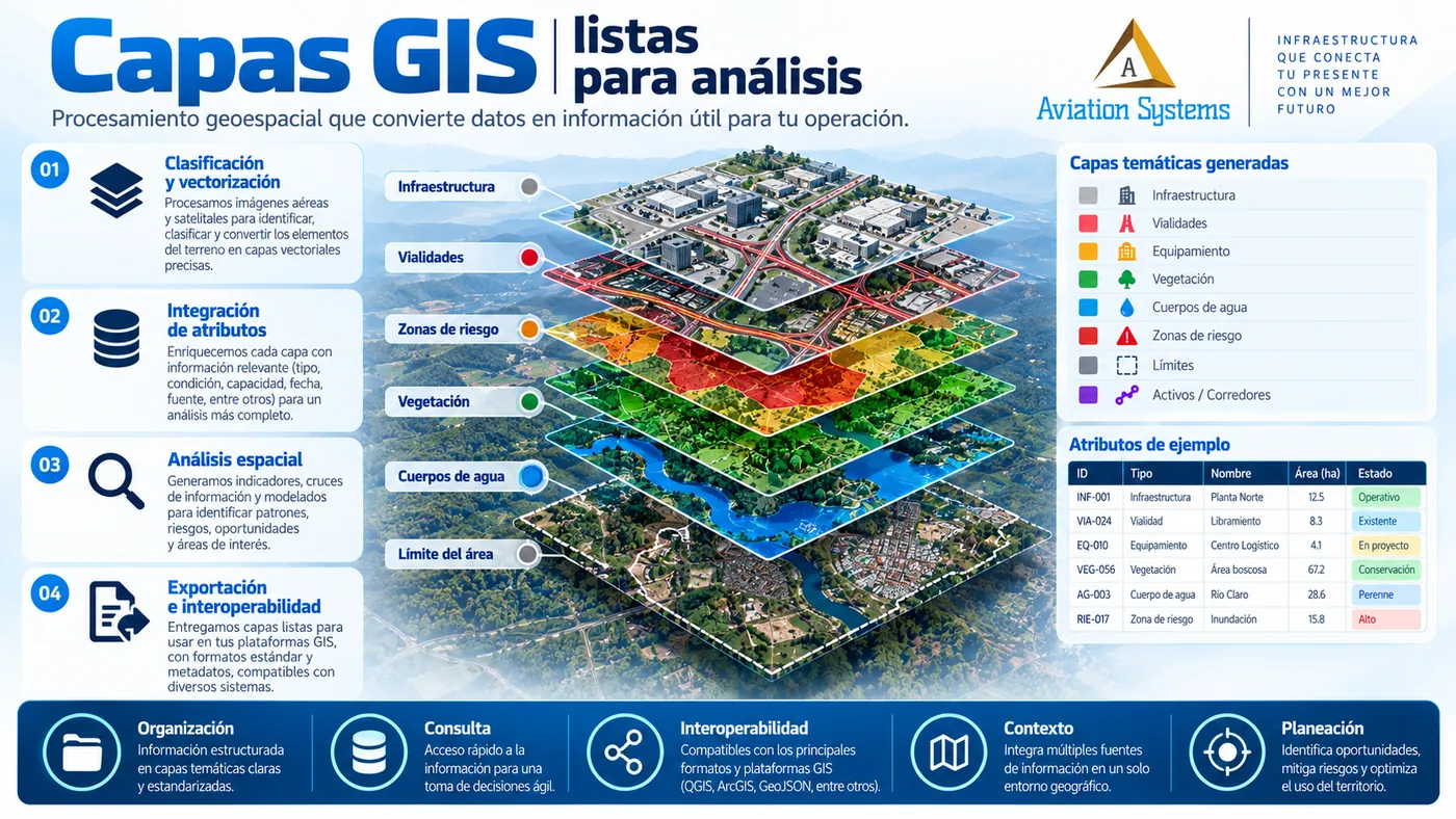
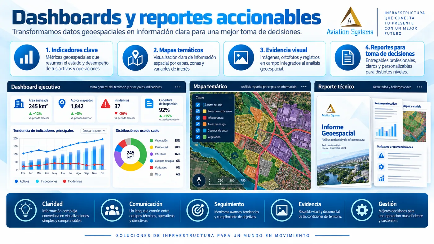
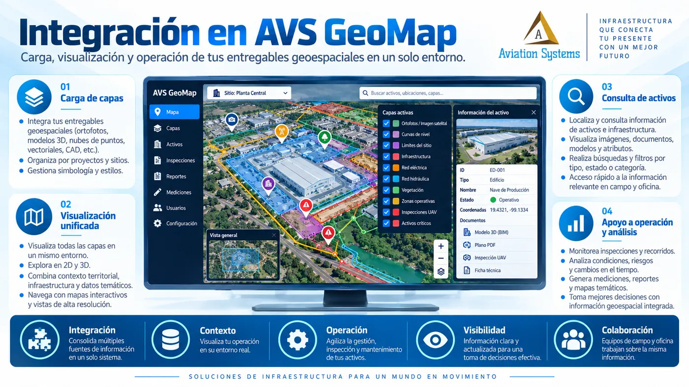
Not necessarily. We can deliver orthomosaics, point clouds, 3D models, GIS layers, reports, georeferenced findings, dashboards and integration with AVS GeoMap.
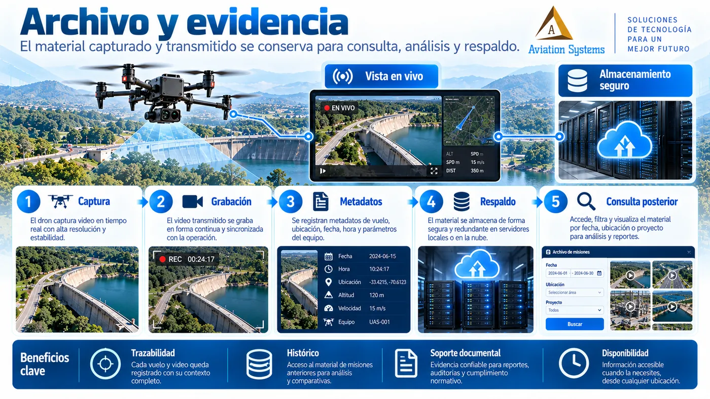
Can you carry out recurring inspections?
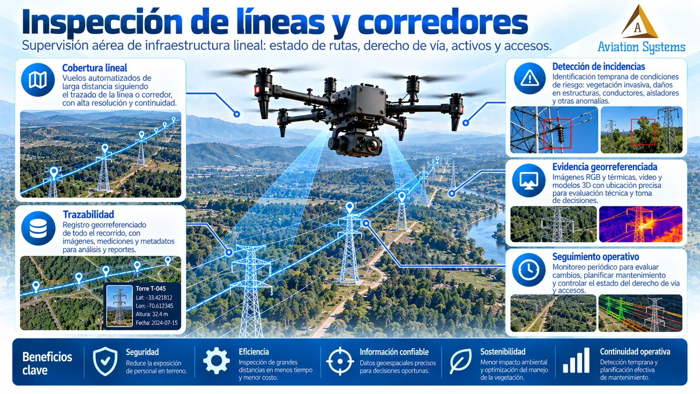
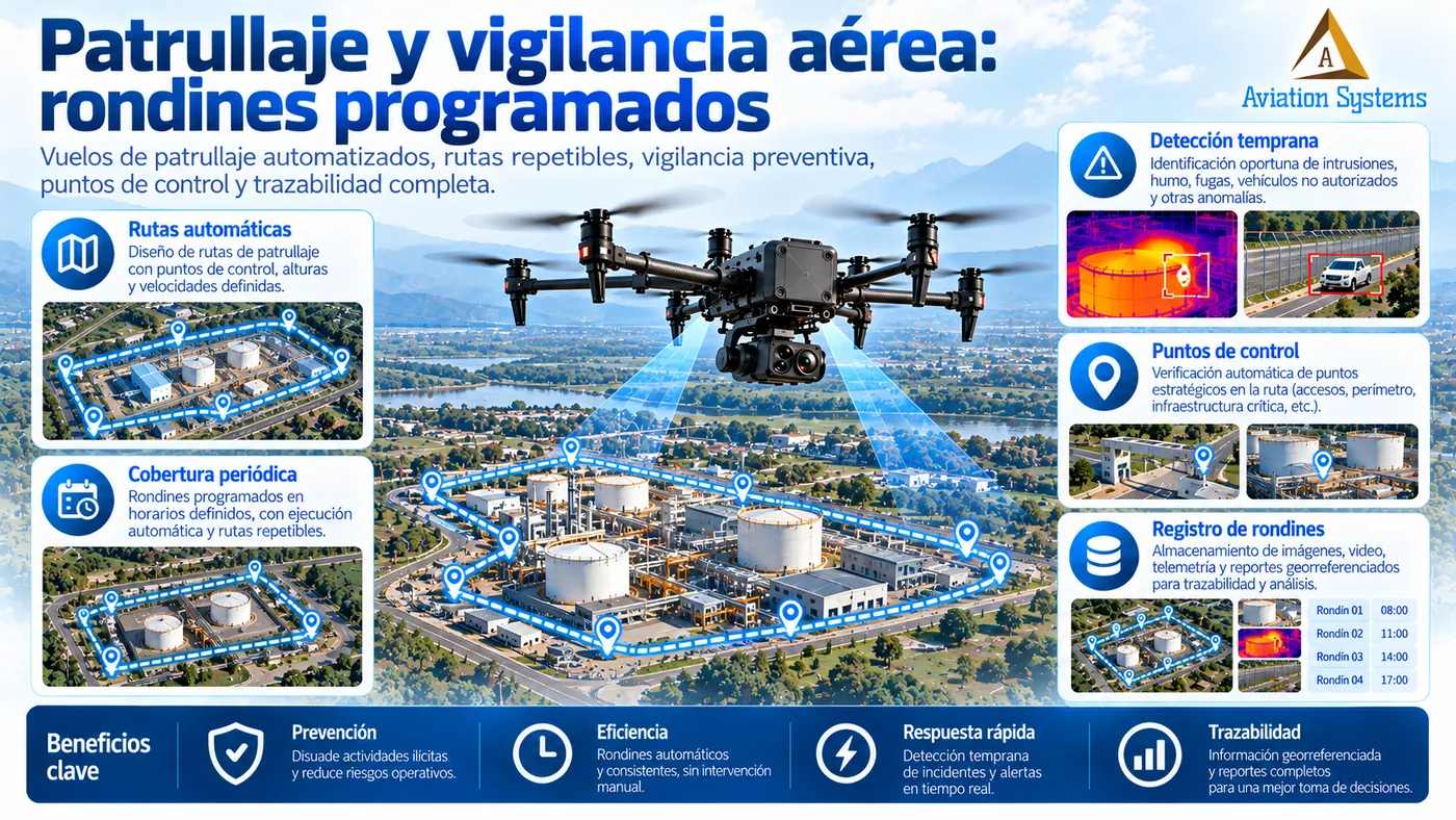
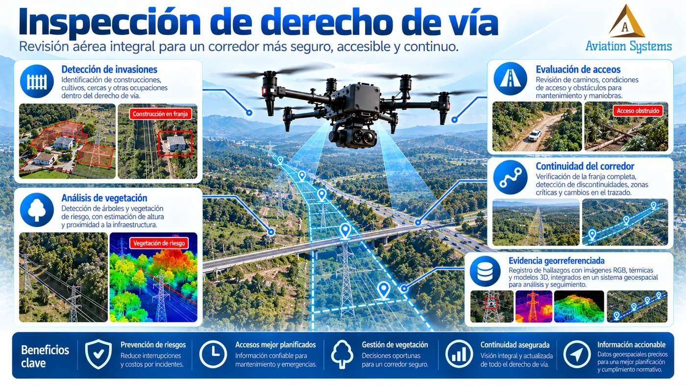
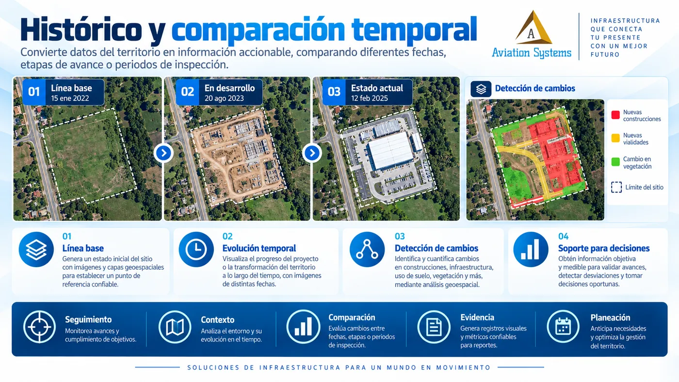
Yes. We can define repeatable routes and campaigns to compare conditions between dates and build a history of assets, corridors, construction works or territory.
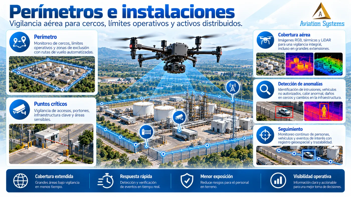
Do you work with electrical infrastructure, pipelines, mining and construction?
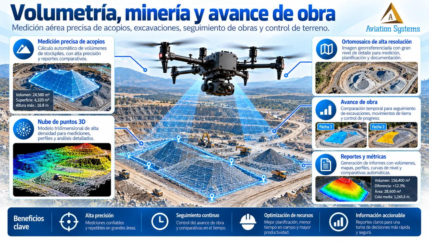
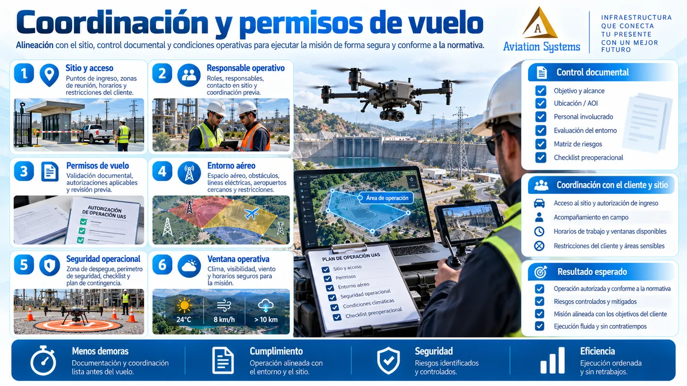
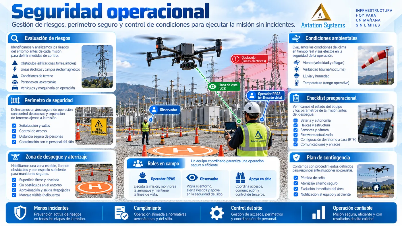
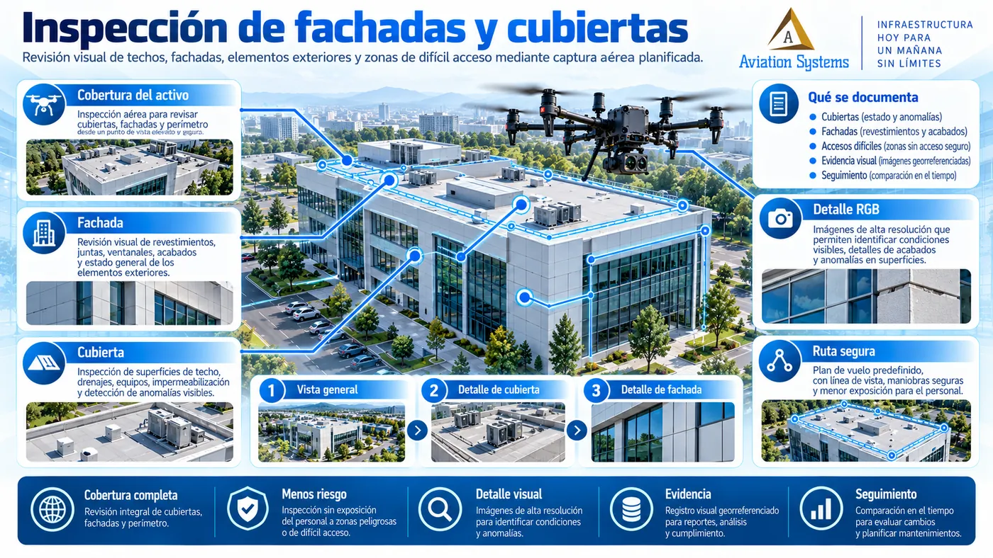
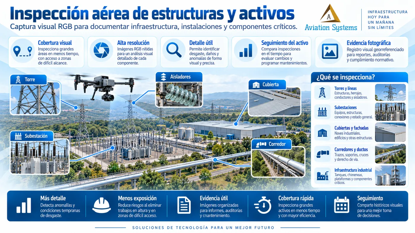
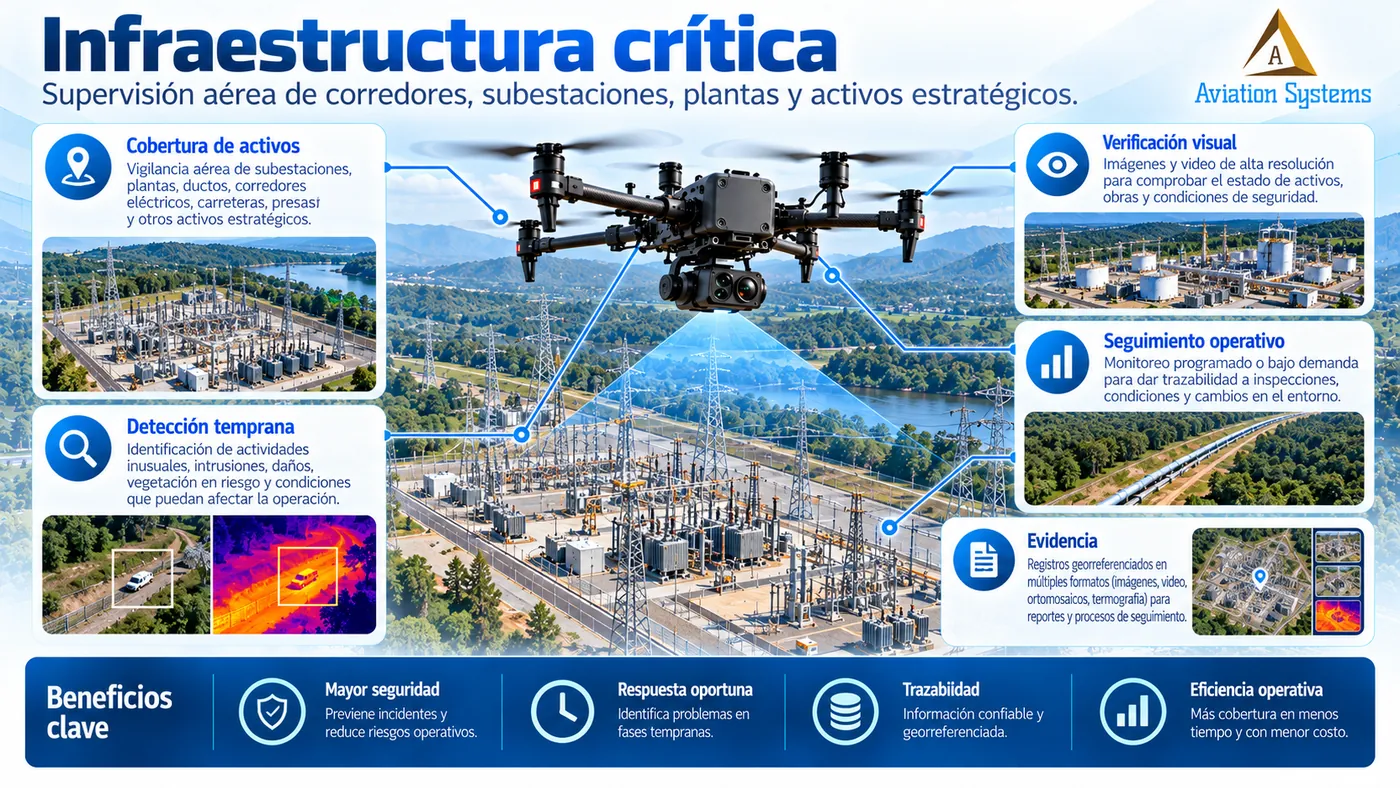
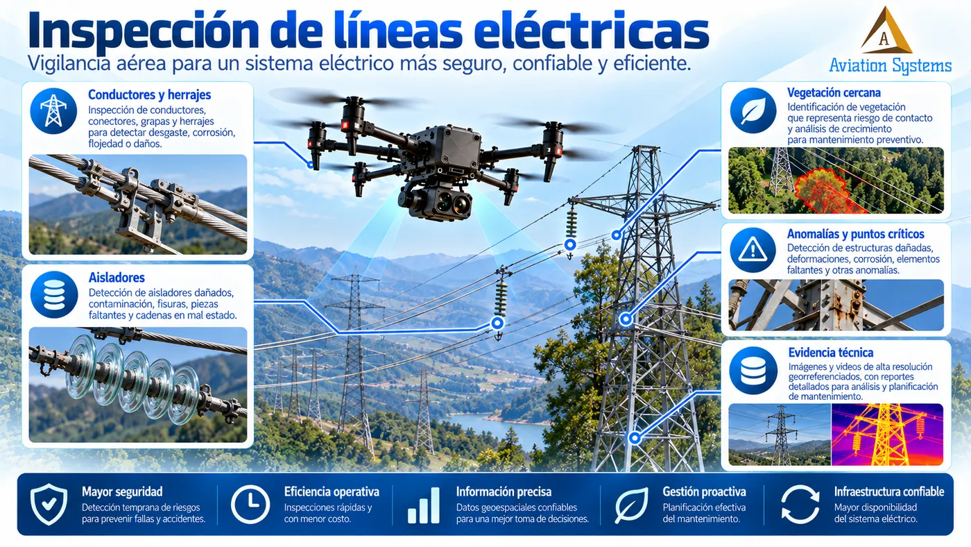
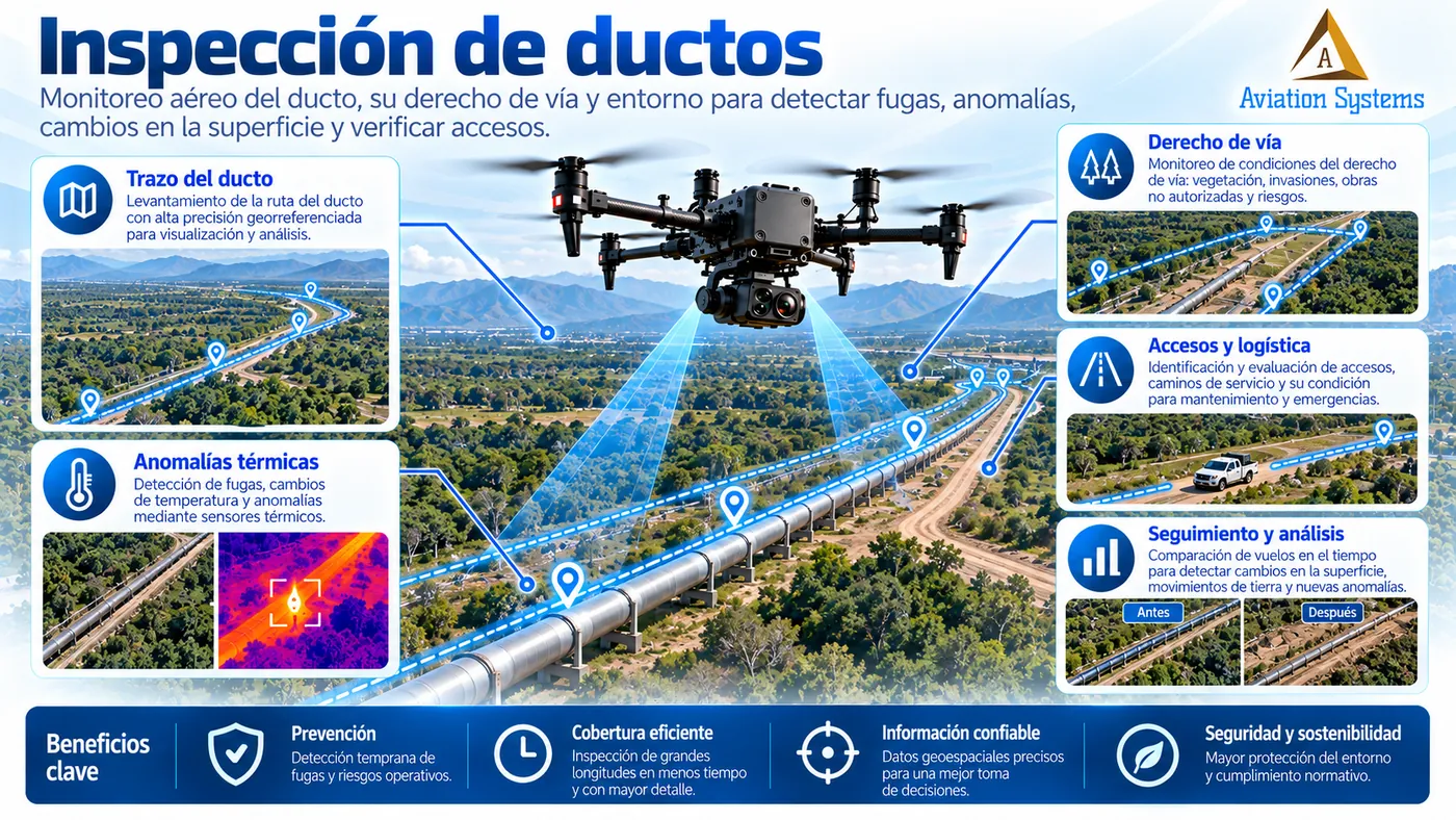
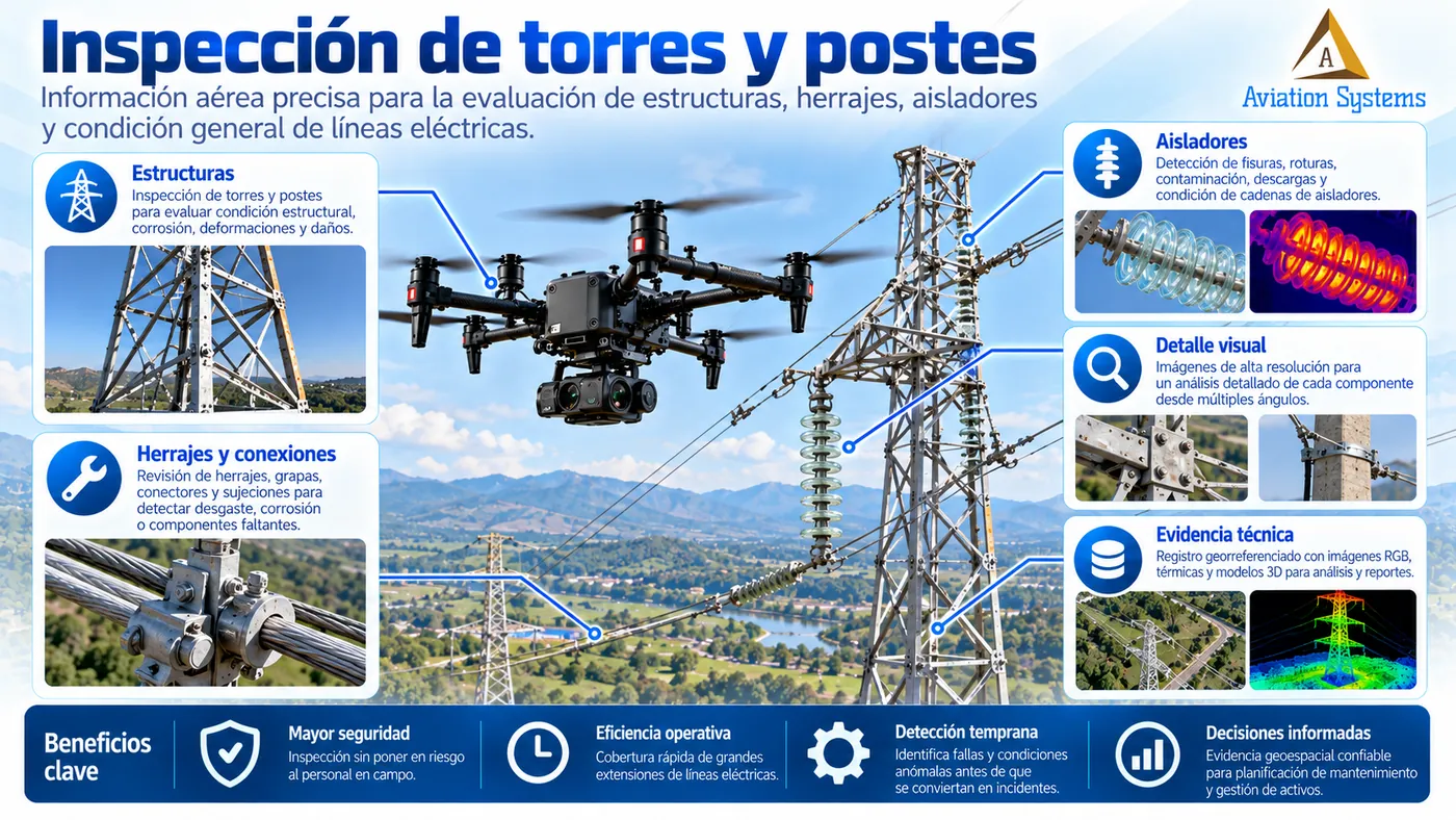
Yes. The methodology and sensors change according to the asset and the objective. This page covers power lines, rights of way, pipelines, mining, construction works and critical facilities, among other scenarios.