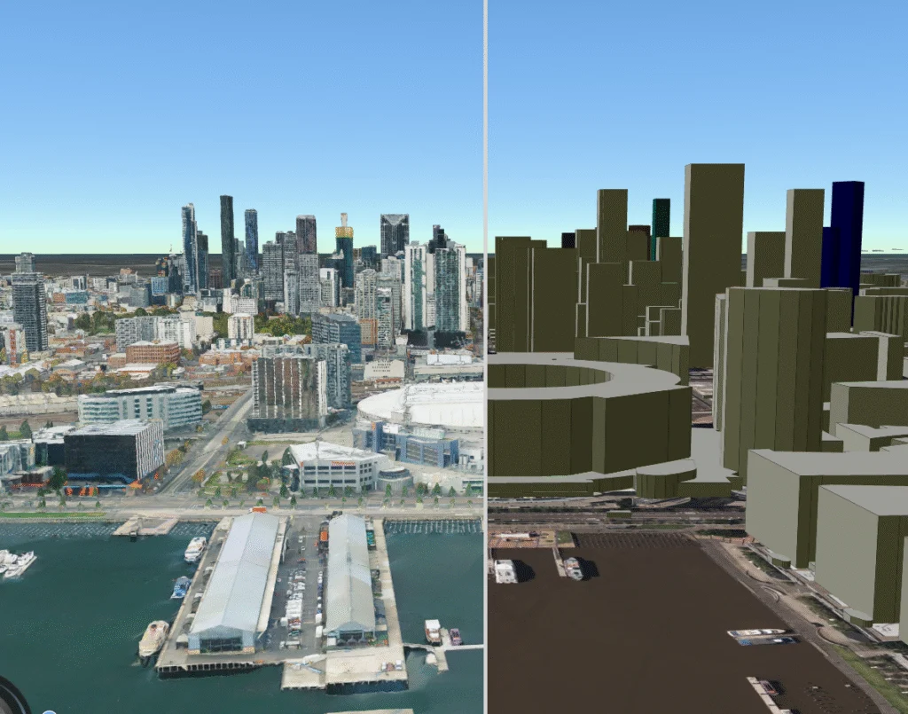
AVS GeoMap platform

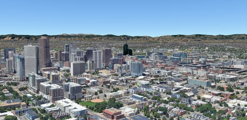
The platform that brings it all together
Combine in a single interface the data captured by drones, helicopters, fixed cameras and remote sensors.
01 — Platform
AVS GeoMap
A control center that brings aerial and ground data together in an interactive viewer. Live georeferenced video, reports and real-time decision-making.
Request a demo →02 — Video
GeoMedia — Georeferenced Video
Live streams and recordings synchronized with the exact GPS location on the map. Ideal for NOCs, command centers and aerial surveillance.
Request a demo →03 — Photogrammetry
Photogrammetry and 2D/3D Mapping
Orthomosaics, point clouds and centimeter-accurate digital terrain and surface models (DTM/DSM) for mining, construction and surveying.
Request a demo →